
Population 60 Civil parish Kirby Knowle Sovereign state United Kingdom | OS grid reference SE469873 Local time Tuesday 4:23 PM District Hambleton | |
 | ||
Weather 12°C, Wind W at 29 km/h, 55% Humidity | ||
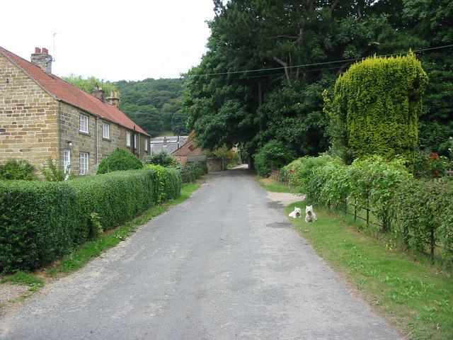
Boltby forest run down to kirby knowle
Kirby Knowle is a village and civil parish in Hambleton district of North Yorkshire, England, on the border of the North Yorkshire Moors and near Upsall, about 4 miles north-east of Thirsk. The population of the civil parish was estimated at 60 in 2014.
Contents
- Boltby forest run down to kirby knowle
- Map of Kirby Knowle Thirsk UK
- History
- Governance
- Geography
- Religion
- References
Map of Kirby Knowle, Thirsk, UK
History
The village is mentrioned in the Domesday Book as Chirchebi in the Yalestre hundred. The lands were in the possession of Orm, son of Gamal, but passed to Hugh , son of Baldric after the Norman invasion. The lands became the possession of Robert de Mowbray who granted tenancy to Baldwin le Wake and then to the Upsall family, eventually passing to the Lascelles family. The Lascelles built a castle here in the 13th century which burnt down in 1568. During this time the manor was in the hands of the Constable family. The Constables were Catholics and were dispossessed of the manor after the Civil War.
A mile to the west of the village is Kirby Knowle Castle, a seventeenth century house altered in the nineteenth century.
Governance
The village is within the Thirsk and Malton UK Parliament constituency. It lies within the Whitestonecliffe ward of Hambleton District Council and Thirsk electoral division of North Yorkshire County Council.
The parish shares a grouped parish council, known as Hillside Parish Council, with the civil parishes of Boltby, Cowesby, Felixkirk and Upsall.
Geography
The nearest settlements are Upsall 1.1 miles (1.8 km) to the west; Felixkirk 1.6 miles (2.6 km) to the south; Boltby 1.5 miles (2.4 km) to the south-east and Cowesby 1.5 miles (2.4 km) to the north.
The 1881 UK Census recorded the population as 114. The 2001 UK Census recorded the population as 68 of which 59 were over the age of sixteen years and of these 35 were in employment. There were 33 dwellings of which 24 were detached.
Religion
There is a church in the village dedicated to St Wilfrid. It is a Grade II listed building, rebuilt in 1873 on the site of the original.