
Population 100 Civil parish Felixkirk Sovereign state United Kingdom | OS grid reference SE468438 Local time Friday 3:21 PM District Hambleton | |
 | ||
Weather 11°C, Wind SE at 21 km/h, 81% Humidity | ||
Felixkirk is a village and civil parish in the Hambleton district of North Yorkshire, England. The village is situated about three miles north-east of Thirsk. The population of the civil parish was estimated at 100 in 2014.
Contents
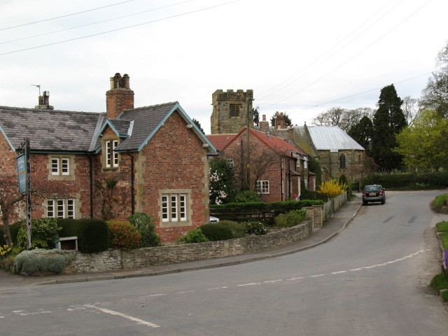
Map of Felixkirk, Thirsk, UK
History
The village is named for after the local church, which is dedicated to St Felix. St Felix, a Burgundian, travelled with St Paulinus converting the Saxons in England in the seventh century. It may have not been known by its current name at the time of the Norman invasion as it does not appear in this form in the Domesday Book. Instead it is known as Fridebi with the manor lands shared between Gamal, son of Kalri and Ligulf. The lands passing after the invasion to Hugh, son of Baldric, who made Gerard of Boltby, lord of the manor.
There are competing etymologies for the old name of Fridebi. It is recorded in some texts as being the same as the old place name of Firby near Snape Castle in Bedale, and which means Peaceful Place from the Danish word for peace which is fred. Alternatively it has been recorded as Freda's dwelling along the same naming convention for hamlets with Danish influences at that time. Freda as a personal name in Danish, would also mean Peace
The nearby hill, Mount St John, was the location of a Preceptory of the Order of St John of Jerusalem built in the 11th century. After the dissolution of the monasteries, the Preceptory buildings were handed to the Archbishop of York. In 1720 the buildings were pulled down and a new manor house built. Still known as Mount St John, it is a grade II* listed building.
Governance
The village is within the Thirsk and Malton UK Parliament constituency. It lies within the Whitestonecliffe ward of Hambleton District Council and Thirsk electoral division of North Yorkshire County Council.
The parish shares a grouped parish council, known as Hillside Parish Council, with the civil parishes of Boltby, Cowesby, Kirby Knowle and Upsall.
Geography
The village is at an elevation of 433 feet (132 m) above sea level at its highest point. The nearest settlements are Thirlby 1.3 miles (2.1 km) to the east; Sutton-under-Whitestonecliffe 1.7 miles (2.7 km) to the south-east; Upsall 1.6 miles (2.6 km) to the north; Boltby 1.9 miles (3.1 km) to the north-east and Thirsk 2.71 miles (4.36 km) to the south-west.
According to the 1881 UK Census, the population was 113. The 2001 UK Census recorded the population as 104, of which 85 were over the age of sixteen. Of those, 56 were in employment. The village contains 45 dwellings of which 24 are detached properties.
A bowl barrow at Howe Hill in the parish is a scheduled ancient monument. There are two Grade II* listed buildings (St Felix church and Mount St John) in the village and five Grade II listed structures.
Education
Primary education is provided at nearby Thirsk Community, South Kilvington CE Primary and Knayton CE Primary Schools. These schools are within the catchment area of Thirsk School for secondary education.
Religion
The village church is dedicated to St Felix and was substantially rebuilt in 1860 by William Hey Dykes, who is responsible for the unusual rounded apse. It is a grade II* listed building.