
Native name Sungai Kinta Length 100 km | Basin size 2,540 km (980 sq mi) Basin area 2,540 km² | |
 | ||
River mouth near Teluk Intan into the Perak River | ||
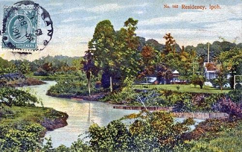
Kinta River (Malay: Sungai Kinta) is a river in Perak, Malaysia. It gives its name to the Kinta Valley which surrounds Ipoh, a town on the river. There are many limestone hills in this area and there used to be many tin mines. The probably largest tin field in the world was discovered in 1876 in the Kinta Valley. The river was also well known for its wide variety of freshwater fish. The fisheries department reported a greater abundance of fish from the Intake Dam to Tasek, and from a secluded fish pool, 0.75 miles (1.21 km) down from Tanjung Rambutan. Fishing in this area used to be a major local activity until the fisheries gradually closed down.
Contents
Map of Kinta River, Perak, Malaysia
Kinta River is one of the main branches of the Perak River.
Major settlements
Major settlements along the river are: