
Time zone CET/CEST (UTC+1/+2) Area 9.07 km² Postal code 54538 Dialling code 06532 | Elevation 110 m (360 ft) Postal codes 54538 Local time Tuesday 2:24 PM Population 787 (31 Dec 2008) | |
 | ||
Weather 14°C, Wind W at 13 km/h, 42% Humidity | ||
Kinheim is an Ortsgemeinde – a municipality belonging to a Verbandsgemeinde, a kind of collective municipality – in the Bernkastel-Wittlich district in Rhineland-Palatinate, Germany.
Contents
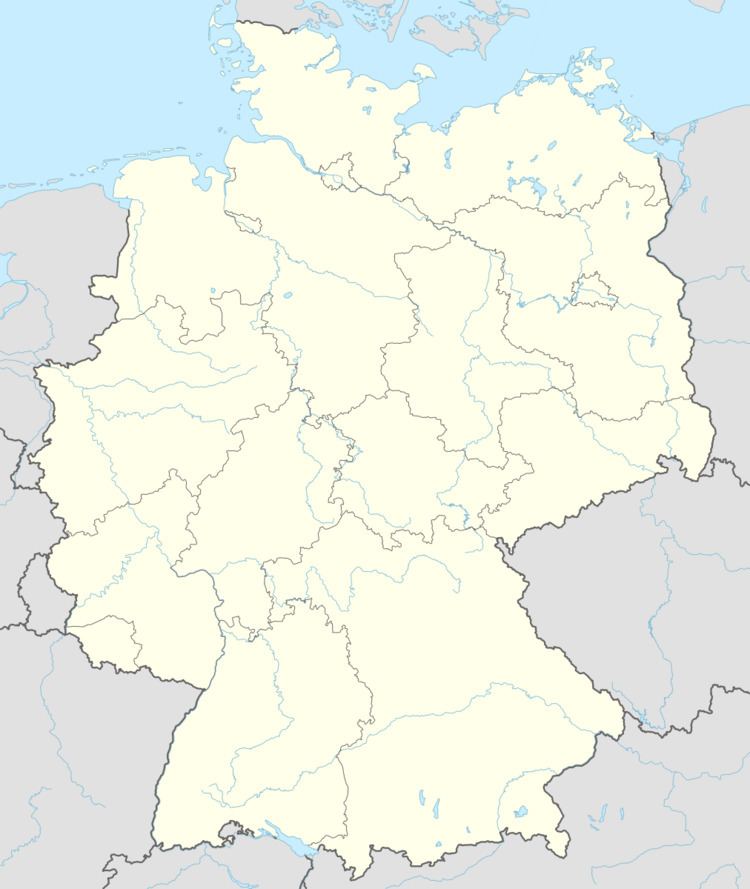
- Map of Kinheim Germany
- Location
- Climate
- Neighbouring municipalities
- History
- Municipal council
- Coat of arms
- Town partnerships
- Clubs
- Economy and infrastructure
- Sons and daughters of the town
- References
Map of Kinheim, Germany
Location
The municipality lies on the Middle Moselle’s left bank at Moselle kilometre 116. The outlying centre of Kindel lies on the right bank. The two centres are linked with each other by a bridge across the Moselle. The outlying centre of Sengwald is nestled in the Alf valley between Kinderbeuern and the settlement of Ürziger Bahnhof (“Ürzig Railway Station”). Just under half the municipal area is wooded. Kinheim belongs to the Verbandsgemeinde of Traben-Trarbach.
Climate
Yearly precipitation in Kinheim amounts to 706 mm, falling into middle third of the precipitation chart for all Germany. At 41% of the German Weather Service’s weather stations, lower figures are recorded. The driest month is February. The most rainfall comes in June. In that month, precipitation is 1.6 times what it is in February. Precipitation varies only minimally and is spread out quite evenly throughout the year. At only 3% of the weather stations are lower seasonal swings recorded.
Neighbouring municipalities
Kinheim borders in the north on the municipality of Kinderbeuern, in the northeast on the municipality of Bengel, in the east on the municipality of Kröv, in the southeast on the town of Traben-Trarbach, in the southwest on the municipality of Lösnich, in the west on the municipality of Ürzig, and in the northwest on the municipality of Bausendorf.
History
In 1161, the placename Kinheim had its first documentary mention. The name’s meaning is uncertain. It is believed that the determiner Ken is of pre-Roman origin. The root word Heim suggests that Kinheim was an early Frankish settlement. The outlying centre of Kindel across the river was named as early as 1069 as Kennelle, and was later called Kinelle (1304) or Kinnel (1404). Kindel is surely a daughter settlement of Kinheim, for Kennelle means “little Kindel”. Furthermore, Kinheim had an outlying centre in the Alf valley, today’s Kinderbeuern (1296: Kynheymerbüren), which until sometime about 1740 was politically united with the municipality of Kinheim.
Beginning in 1794, XXX lay under French rule as part of the Département de Rhin-et-Moselle (Rhein-Mosel-Département in German). In 1814 it was assigned to the Kingdom of Prussia at the Congress of Vienna. Since 1946, it has been part of the then newly founded state of Rhineland-Palatinate.
In the outlying centre of Kindel, the remnants of a Celtic-Roman estate from the 3rd century were unearthed. This also entailed the discovery of a high relief of the hammer god Sucellus. This archaeological find is said to be the oldest evidence of winegrowing on the Moselle.
Municipal council
The council is made up of 12 council members, who were elected by majority vote at the municipal election held on 7 June 2009, and the honorary mayor as chairman.
Coat of arms
The municipality’s arms might be described thus: Or an eagle bicapitate displayed sable armed and langued gules, on his breast an inescutcheon chequy of sixteen argent and gules, between the heads a royal crown proper.
Town partnerships
Kinheim fosters partnerships with the following places:
Clubs
The clubs in Kinheim-Kindel include a gymnastic and sport club, a Winzerkapelle (“winemakers’ orchestra”), a volunteer fire brigade, the village youth club and a Carnival club. These clubs organize and stage several events over the year.