
Country United States County Washington FIPS code 36-39650 Population 11,171 (2000) Area code 518 | State New York Time zone Eastern (EST) (UTC-5) Elevation 83 m Local time Tuesday 7:23 AM | |
 | ||
ZIP codes 12839 (primary)12804 Queensbury12827 Fort Ann12828 Fort Edward Weather -8°C, Wind N at 18 km/h, 83% Humidity Area 103.6 km² (103.3 km² Land / 26 ha Water) | ||
Kingsbury is a town in western Washington County, New York, United States. It is part of the Glens Falls Metropolitan Statistical Area. The town population was 11,171 at the 2000 census.
Contents
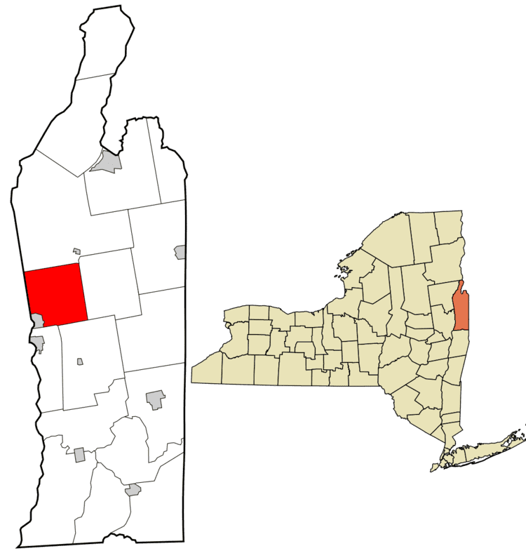
Map of Kingsbury, NY, USA
History
A charter for a Township of Kingsbury was granted by King George III on May 11, 1762. Its first settler was James Bradshaw. Albert Baker arrived second, constructing a sawmill at what is today known as Baker's Falls. John Jones built a mill in the northwest corner of town. Following his death, Edward Patten purchased Jones' land and renamed the settlement Pattens Mills, a name by which it is still known.
During the American Revolutionary War, the township was twice invaded by British armies. The second invasionary force set fire to everything but the homes of Loyalists.
Charlotte County, of which Kingbury was a part, was annexed by the Vermont Republic in 1781. The following year, it renounced its claim to Charlotte County, and New York officially recognized the town of Kingsbury. In 1810, the settlement near Baker's Falls incorporated as the village of Sandy Hill, though it changed its name to Hudson Falls in 1910.
In 1823, the Champlain Canal was opened, followed in 1833 by the Glens Falls Feeder Canal. Major industry consisted of farming, milling, mining, and logging.
Geography
According to the United States Census Bureau, the town has a total area of 40.0 square miles (104 km2), of which, 39.9 square miles (103 km2) of it is land and 0.2 square miles (0.52 km2) of it (0.37%) is water.
Part of the west town line is the border of Saratoga County and the remainder is the border of Warren County.
NY 196 crosses the south part of Kingsbury from east to west. NY 149 runs along part of the east town line and intersects US 4, which runs from Hudson Falls through the northeast part of the town. The Champlain Canal, part of the NYS canal system runs through the eastern part of the town.
Demographics
As of the census of 2000, there were 11,171 people, 4,491 households, and 2,955 families residing in the town. The population density was 280.2 people per square mile (108.2/km²). There were 4,823 housing units at an average density of 121.0 per square mile (46.7/km²). The racial makeup of the town was 98.17% White, 0.37% African American, 0.27% Native American, 0.21% Asian, 0.01% Pacific Islander, 0.13% from other races, and 0.84% from two or more races. Hispanic or Latino of any race were 0.60% of the population.
There were 4,491 households out of which 31.8% had children under the age of 18 living with them, 48.0% were married couples living together, 13.0% had a female householder with no husband present, and 34.2% were non-families. 27.6% of all households were made up of individuals and 12.0% had someone living alone who was 65 years of age or older. The average household size was 2.46 and the average family size was 2.97.
In the town, the population was spread out with 25.0% under the age of 18, 8.2% from 18 to 24, 30.2% from 25 to 44, 22.4% from 45 to 64, and 14.2% who were 65 years of age or older. The median age was 37 years. For every 100 females there were 92.1 males. For every 100 females age 18 and over, there were 88.2 males.
The median income for a household in the town was $34,919, and the median income for a family was $41,507. Males had a median income of $31,200 versus $21,425 for females. The per capita income for the town was $18,433. About 9.1% of families and 12.6% of the population were below the poverty line, including 21.3% of those under age 18 and 5.7% of those age 65 or over.