
Bridges Bowcombe Bridge | ||
 | ||
Similar Overbeck's, Salcombe Castle, Start Point Lighthouse, Burgh Island, Start Bay | ||
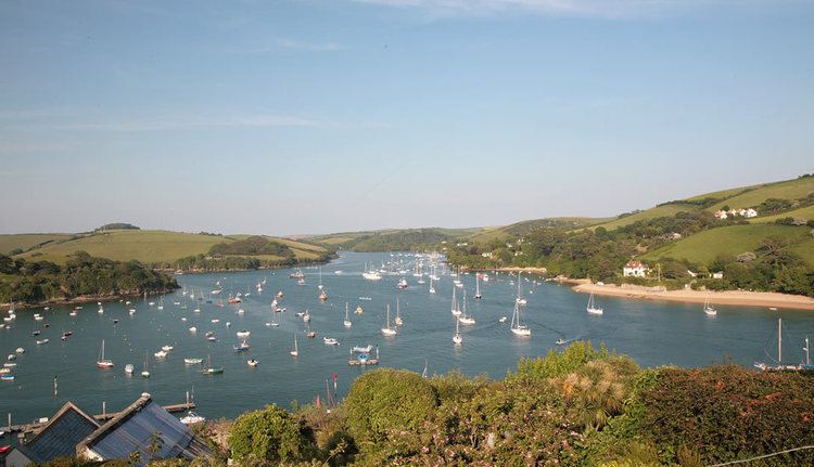
The Kingsbridge Estuary (also, erroneously, known as the 'Salcombe Estuary') is a ria located in the South Hams area of Devon, England, running from Kingsbridge in the north to its mouth at the English Channel near Salcombe. The estuary is popular with sailors and holiday-makers, and it lies within the South Devon Area of Outstanding Natural Beauty (AONB).
Map of Kingsbridge Estuary, United Kingdom
It is an extreme example of a ria (drowned river valley), because it is disproportionate to the size of the small streams which flow into it. Prior to the sea level rise at the end of the ice age, it was the valley of a river.
Several of the creeks of the estuary have independent names, including Blanksmill, Frogmore, Southpool, Batson and Bowcombe Creek (the most northerly portion of the estuary).