OS grid SU672375 Elevation 218 m | Topo map OS Landranger Prominence 46 m | |
 | ||
King's Hill is one of the highest points in the county of Hampshire, England. It is part of the Hampshire Downs and reaches 218 metres (715 ft) above sea level.
Map of King's Hill, Alton, UK
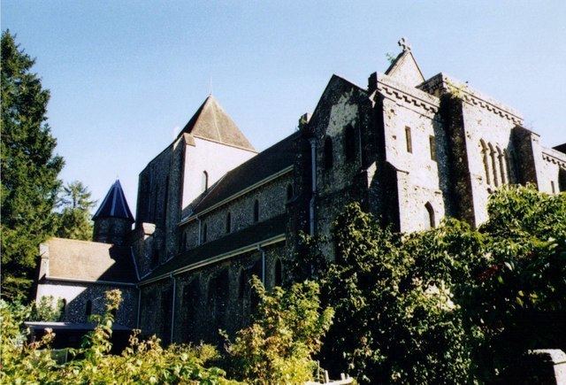
King's Hill is situated in the parish of Bentworth. It lies on the Abbey Road between the Hampshire villages of Medstead and Beech. To the northeast is Alton Abbey. Chawton Park Wood lies to the south of the open hilltop.
References
King's Hill, Hampshire Wikipedia(Text) CC BY-SA
