
Population 535 532 (2011 Census) Civil parish Beech Local time Wednesday 7:12 PM | OS grid reference SU693388 Sovereign state United Kingdom Dialling code 01420 | |
 | ||
Weather 6°C, Wind SW at 14 km/h, 100% Humidity | ||
Beech is a village and civil parish in the East Hampshire district of Hampshire, England. It lies 2 miles (3 km) west of Alton, just west of the A339 road.
Contents
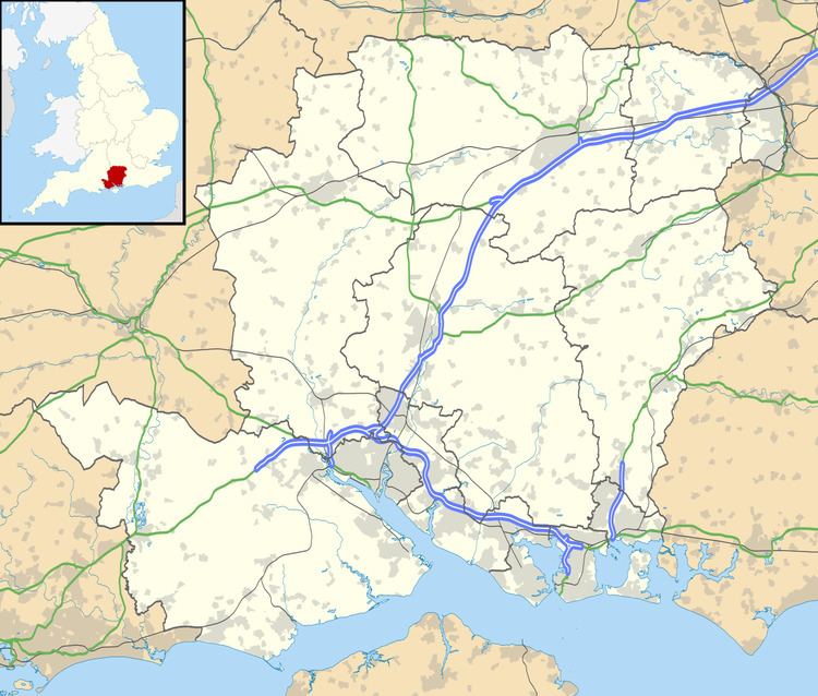
Map of Beech, UK
The road between Medstead and Beech runs over King's Hill (218 m), one of the county's high points. The nearest railway station is 2 miles (3 km) east of the village, at Alton.
History
Although Beech's origins can be traced back to the 12th century, modern Beech took shape in the 1890s when the local landowner began to sell off small parcels of land for housing - much of it in the colonial style of wood and corrugated iron construction. This process continued in the period between the First and Second World Wars. The parish church was built in 1902 and the existing village hall was established nearby in 1932 in a building that had previously formed part of the local print works. Since the 1960s the colonial-style housing has gradually been replaced by modern high end detached housing stock.
At one time, Beech came under the large parish of Bentworth until its decline in the mid-19th century. Although today, Beech's parish borders the parish of Bentworth.
Present day
The village is now primarily an affluent residential area, serving surrounding business areas with little commercial activity within the village boundary. Beech is a growing village with, at present, some 600 villagers living in 205 houses. The establishment of the South Downs National Park is expected to have a major impact on Alton (which falls just outside the Park) and its surrounding villages in terms of increased housing development.
By the turn of the millennium the Village Hall, although well used, was in serious need of modernisation. Thanks to the generosity of local inhabitants during a long-running appeal for funding, and with the support of the National Lottery, a major programme of expansion and refurbishment began in late 2008. In 2010 the new Village Hall was officially opened by broadcaster, writer and gardening expert Alan Titchmarsh, a former resident of the village.
Geography
The Parish of Beech is located in the north-eastern area of Hampshire approximately 11 miles (18 km) south of Basingstoke, 15 miles (24 km) east of Winchester and two miles (3 km) from the market town of Alton. Beech is close to, but outside, the northern boundary of the South Downs National Park.
The village has a linear nature, sitting largely within a narrow valley that descends (by minor road) for almost two miles (3 km) from Alton Abbey, which at 217 metres (712 ft) is one of the highest points in Hampshire, on the slopes of King's Hill, to the Alton - Basingstoke trunk road at 106 metres (348 ft).
The area in which Beech is situated is primarily rural. The parish has an area of 5.26 square kilometres (1262 acres) and is a broad mix of woodland, farmland and, in the village area, residential developments. In the past, the area has had an agriculturally based economy, although this influence has declined with modern farming practices.