City Kira, Uganda Constituency Kyaddondo East | County Kyaddondo Elevation 1,160 m | |
 | ||
Kampala omutuufu kimwanyi zooni kimwanyi kyavakuki
Kimwanyi is a place in Kira Municipality, Wakiso District, Central Uganda.
Contents
- Kampala omutuufu kimwanyi zooni kimwanyi kyavakuki
- Kampala omutuufu kimwanyi zooni katanga
- Location
- Overview
- Population
- Points of interest
- References
Kampala omutuufu kimwanyi zooni katanga
Location
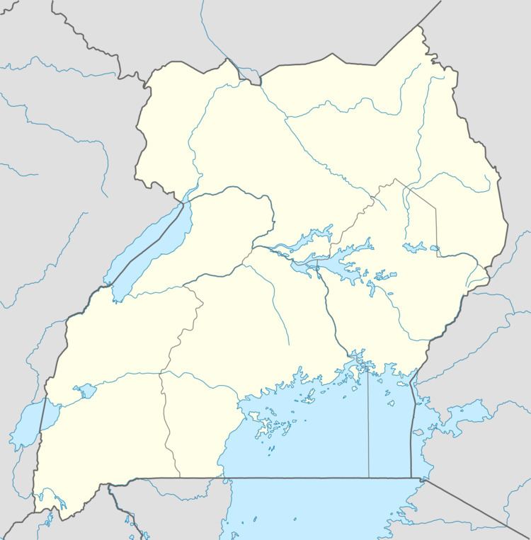
Kimwanyi is in Kimwanyi Ward, in northeastern Kira Municipality, Wakiso District, Central Uganda. It is approximately 17.5 kilometres (10.9 mi), by road, northeast of downtown Kampala, Uganda's capital and largest city. Kimwanyi is bordered by Nakweero to the north, Kijabijo to the northeast, Kitukutwe to the east, Kiwologoma to the southeast, Bulindo to the south, Gayaza to the west, and Manyangwa to the northwest. The coordinates of Kimwanyi are 0°27'12.0"N, 32°38'05.0"E (Latitude:0.453336; Longitude:32.634733).
Overview
Kimwanyi is a rural neighborhood. In 2001, a law was passed incorporating the village into the newly created Kira Municipality, the second-largest urban center in Uganda, with a population of 313,761 according to the 2014 national census.
Population
In 2002, the national census estimated the population of Kira Municipality at 142,800. Kimwanyi's population at the time was about 6,800 (approximately 5% of the total). In 2011, the Uganda Bureau of Statistics (UBOS), estimated the mid-year population of Kira at about 179,800. Given that data, it is estimated that the population of Kimwanyi in 2011 was about 9,000.
