Population 830 Sovereign state United Kingdom Dialling code 01297 | OS grid reference SY272979 Postcode district EX13 Local time Monday 9:52 PM | |
 | ||
Weather 10°C, Wind W at 11 km/h, 92% Humidity | ||
Plain bob minor at kilmington devon
Kilmington is a village near Axminster in East Devon off the A35 road. The village population at the 2011 Census was 830. Kilmington is a major part of Newbridges electoral ward whose population at the above census was 2,358.
Contents
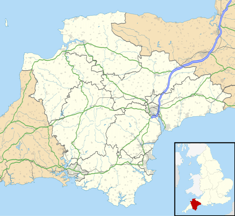
Map of Kilmington, Axminster, UK
It includes Coryton, the grade II listed surviving wing of a brick house with Portland stone dressings built in 1754-6 by Benedictus Marwood Tucker, sheriff of Devon in 1763. Some remains of the older mansion can also be seen at Old Coryton. This had been for many years the property of the Warren family, who sold it to William Tucker of Westwater in 1697. He built the old house, which passed to his son William, High Sheriff of Devon for 1726, who lived there until 1748. Benedictus, also the High Sheriff for 1763, was the latter's son.
The parish church of St. Giles was rebuilt in 1862, it contains a large marble monument to Thomas Southcott of Dulshayes that was erected in 1735. The church itself was built around the tower, an earlier structure featuring a six-bell peal and gargoyles. Kilmington also has a cricket ground.
