
Local time Monday 9:15 PM | ||
 | ||
Weather 9°C, Wind W at 21 km/h, 83% Humidity | ||
Killinghall v railway part 2 unders 11s
Killinghall is a village and civil parish in the Harrogate district of North Yorkshire, England. The civil parish population taken at the 2011 census was 4,132.
Contents
- Killinghall v railway part 2 unders 11s
- Map of Killinghall Harrogate UK
- History
- Government
- River Nidd and Oatbeck
- Killinghall Moor
- Glebe
- Village hall
- Killinghall moor conservation group
- Killinghall play group
- Lower Nidderdale safer neighbourhood group
- Hazel Manor
- Harrogate Ripley Green Way
- St Thomas the Apostle Church
- Methodist chapel
- Sport
- References
Map of Killinghall, Harrogate, UK
The village is situated approximately 3 miles (5 km) north of Harrogate, extending south from the bridges on the A61 road over the River Nidd. The undeveloped area between Killinghall and Harrogate is known as Killinghall Moor some of which has been developed into Jenny Fields Estate. The village of Ripley lies 1 mile (1.6 km) to the north and Hampsthwaite 2 miles (3.2 km) to the west. Killinghall's position on the A61 links the village to Harrogate and Ripon. A regular bus service between Ripon, Harrogate and Leeds stops in Killinghall.
Killinghall is primarily a commuter village, with four public houses (The Greyhounds, the Three Horseshoes, The Nelson and the Old Spring Well - formerly the Travellers' Rest), a primary school, the Church of St Thomas, a children's day nursery, a fish and chip shop, doctor's office and a garden centre with nursery. The local area incorporates a number of farms.
History
The village dates back before the Norman conquest of England, in fact, there is evidence that it dates back to Celtic times. In the Domesday Book the village is called Chenihalle, i.e. Kennelhall; probably a place where the hounds (which belonged to the Lord of the Manor) were kept. A nobleman in the county of Yorkshire had the power granted to him by one of the Saxon kings to keep Mastiff dogs for chasing wolves out of their territory.
In the 17th century early settlers, Yeomen acquired land in the Hollins Hall site of Lund Lane. Known at that time as Yearwith Hollins, this was settled by 25 families; the site was chosen because it was inter common with Killinghall and Hampsthwaite, which meant it was not possessed by either village. The Yeoman held plots of land of various sizes between Hollins Hall and Hollins Farm and records show that five of the families were named Hardisty. These early settlements helped create the village. There were also rich families that used to live in the village such as the Pulleyns, Ttancreds, and Bayns who all erected manor houses that have since been reduced to grassy steps, and sometimes built over.
During the English civil war, after the Battle of Marston Moor in July 1644, Cromwell's Norwich Troop of horses were quartered at Killinghall Village. The oldest building in the area is the Kennel Hall farm. This building (according to the plaque that commemorates it) was used to house Parliamentary soldiers from Cromwell regiment. The buildings date back only to the 17th century when the village was being largely rebuilt.
Killinghall grew up as a river crossing over the River Nidd where a new bridge now stands (this was also a popular spot with many artists), but Killinghall found a new reputation with its quarries. The quarries have extracted their last lumps years ago, but many stone cutting businesses still exists in the area. A reminder of this is the lump of stone in the glebe that was mind from the area. This stone also helped make many of Harrogate's structures.
On 5 July 2014, the Tour de France Stage 1 from Leeds to Harrogate passed through the village.
Government
The first parish meeting was held in 1895.
There is an electoral ward called Killinghall. This ward stretches north to Ripley and in the 2011 census had a total population of 3,306.
River Nidd and Oatbeck
These are the rivers that cover the north, and half the south sides of the village. (Google maps). The river Nidd is crossed by two bridges directly next to each other; the biggest of which is for most traffic and leads to Ripley, the other is for small traffic and carries a road that comes from the main one (Ripon Road), and joins back onto it after the water. The Harrogate Ripley Green Way joins this small road.
Killinghall Moor
The borders are not well defined but are roughly Jennyfields, Harlow Hill and the River Nidd. Killinghall moor has no heather and looks particularly green as it is not a moor by definition but by name.
Glebe
The glebe has been converted into a children's play area. It is located just outside the church. The land it stands on has had to be drained and reseeded in order to be made fit for purpose. Project finished on 30 April 2006.
Village hall
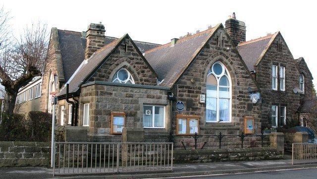
The villagers want for a village hall first gained momentum in the 1930s, and in 1937 residents bought an old board school. It was not until the coronation of George VI that volunteers pulled together and built one. The village hall is used by toddlers and the elderly alike for clubs, meetings, and groups.
Killinghall moor conservation group
Though based in Harrogate, its aim is to protect Killinghall Moor. Killinghall Moor has been under attack from property developers since the creation of the Jennyfields estate in Harrogate.
Killinghall play group
Young children's day care.
Lower Nidderdale safer neighbourhood group
Little online presence, but from collections of newspaper articles, one gathers that its aim is to make a safer village.
Hazel Manor
Built in 1857, Hazel Manor has changed ownership many times, and is now a B&B.
Harrogate Ripley Green Way
The Harrogate Ripley Green Way is a car–free cycle path that follows the route of a disused railway. It starts in Starbeck Harrogate, crosses the "Bilton triangle" (three railways of which two are disused that form a triangular shape), and then crosses Bilton lane. After that the path goes over open fields until it reaches a 104 foot high bridge spanning Nidd Gorge that was originally built in 1848. From there the path carries on across fields until in reaches the bridge next to Killlinghall. It then crosses Ripon Road then on to Ripley Castle.
The railway that was originally along this route was primarily used to transport fossil fuels, and later passengers until its closure in 1967. The path was opened in 2013 possibly in anticipation of the first stage of the Tour de France finishing in Harrogate.
St Thomas the Apostle Church
This church dates back to the creation of its parish in 1880 and graves are still being dug. Built in mock gothic.
Methodist chapel
Killinghall Methodist Church, part of the Nidd Valley Methodist Circuit, is situated on Ripon Road. Its minister is Reverend Roberta Topham A chapel on this site was first erected in 1792 not long after Methodism began.
Sport
The village is represented by a cricket team, a football team and a children's football team.