Population 150 Local time Monday 6:16 PM | OS grid reference NM488637 Sovereign state United Kingdom Postcode district PH36 4 | |
 | ||
Weather 10°C, Wind SW at 48 km/h, 85% Humidity Scottish parliament Skye, Lochaber and Badenoch | ||
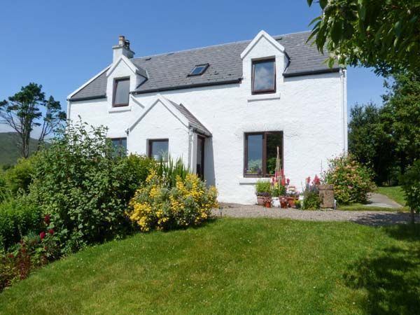
Kilchoan (Cille Chòmhghain in Gaelic) is a village on the Scottish peninsula of Ardnamurchan, in Lochaber, Highland. It is the most westerly village on Great Britain, although several tiny hamlets lie further west on the peninsula (of these, the most westerly is called Portuairk). The western linear, coastal parts of the village are Ormsaigmore and Ormsaigbeg.
Contents
Map of Kilchoan, Acharacle, UK
Kilchoan altogether has a population of about 150.
History
Donaldson equates 'Buarblaig' (now Bourblaige about 3 miles east of Kilchoan on the other side of the eastern mountain of Ben Hiant at 528m, grid reference NM546623) with Muribulg, where the Annals of Tigernach record a battle between the Picts and Dalriads in 731. It may also be the 'Muirbole Paradisi' mentioned by Adomnán.
Landmarks
The ancient Mingary Castle is on the coast about 1km east of the village.
Examples of a type of igneous rock structure called a cone sheet are found at Kilchoan.
Below the slope north-west of the village street is a chambered cairn, Greadal Fhinn.
Ben Hiant is the highest point of the peninsular at 528m and lies between the village and the coastal hamlet of Ardslignish.
Transport
A ferry service runs regularly from Kilchoan to Tobermory on the Isle of Mull.
To and from the regional centre of Fort William, two buses per day connect with sailings of this ferry:
Kilchoan Bay
Kilchoan Bay has the following:
Hospitality
The Sonachan Hotel, Kilchoan is the most westerly bar/hotel on the mainland of the UK.
Ardnamurchan Campsite, Kilchoan.
Geology
The minerals kilchoanite, dellaite and rustumite were first found at Kilchoan. A natural history museum is adjacent to the hamlet to the east at the coastal hamlet of Glenmore.
