
Admin. region Oberbayern Elevation 490 m (1,610 ft) Population 6,804 (31 Dec 2008) | Time zone CET/CEST (UTC+1/+2) Local time Monday 4:13 PM | |
 | ||
Weather 12°C, Wind N at 11 km/h, 44% Humidity Points of interest Museum im Blaahaus, Großer Traithen, Wachtl‑Bahn, Höhlenburg Luegstein | ||
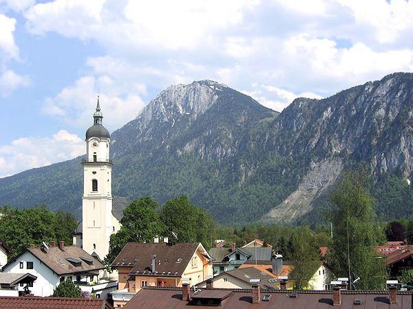
Kiefersfelden is a municipality with about 7000 inhabitants located in the district of Rosenheim in Bavaria in Germany on the border with Tyrol, Austria.
Contents
Map of Kiefersfelden, Germany
Geographical location
Kiefersfelden is located in the foothills of the Alps, in the Bavarian part of the Unterinntal, at an altitude of about 484 m (1,587.93 ft) ASL.
The local rivers are the Inn and the Kieferbach.
Nearby places
References
Kiefersfelden Wikipedia(Text) CC BY-SA