
Airport type Public 4,450 1,356 Code KIP Phone +1 940-766-1735 | Owner City of Wichita Falls Elevation AMSL 1,003 ft / 306 m 1,356 Concrete Elevation 306 m | |
 | ||
Address 4515 Old Jacksboro Hwy, Wichita Falls, TX 76302, USA Similar Cobra Kai Flight Academy, Us FAA, Wichita Falls Regional, Tom Danaher Airport, Sheppard Air Force Base | ||
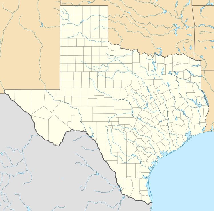
Kickapoo Downtown Airport (IATA: KIP, ICAO: KCWC, FAA LID: CWC, formerly T47) is a city-owned public use airport located three nautical miles (6 km) south of the central business district of Wichita Falls, a city in Wichita County, Texas, United States.
Although most U.S. airports use the same three-letter location identifier for the FAA and IATA, this airport is assigned CWC by the FAA and KIP by the IATA (which assigned CWC to Chernovtsy Airport in Chernovtsy, Ukraine).
Facilities and aircraft
Kickapoo Downtown Airport covers an area of 149 acres (60 ha) at an elevation of 1,003 feet (306 m) above mean sea level. It has one runway designated 17/35 with a concrete surface measuring 4,450 by 75 feet (1,356 x 23 m).
For the 12-month period ending August 12, 2008, the airport had 22,400 aircraft operations, an average of 61 per day: 99% general aviation and 1% air taxi. At that time there were 76 aircraft based at this airport: 64% single-engine, 29% multi-engine, 4% jet and 3% helicopter.