
Elevation 144 m Local time Monday 2:36 PM | Time zone IST (UTC+5:30) Population 11,844 (2001) | |
 | ||
Weather 26°C, Wind W at 18 km/h, 26% Humidity | ||
Khudaganj is a town and a nagar panchayat in Shahjahanpur district in the Indian state of Uttar Pradesh.
Contents
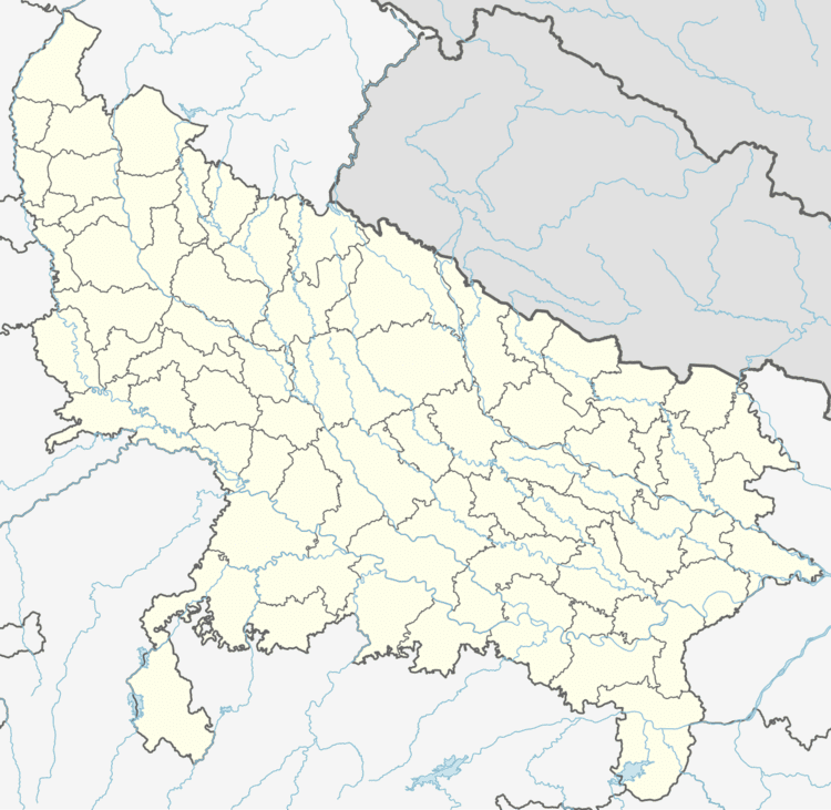
Map of Khudaganj, Uttar Pradesh
Geography
Khudaganj is located at 27.18°N 79.68°E / 27.18; 79.68. It has an average elevation of 144 metres (472 feet). The Main river of Khudaganj is Deoaha(Khakra). A famous place in the town is Pakka Talab. It is famous for a sweet – "Khudaganj ki khurchan" – which is made from milk and sugar. Chote Bade ki Dukan is famous for this sweet. Mr. Harish's Shop is famous for General Store & Garments in this town. Jain Keranaa is a locally well known shop for quality rating which is situated in front of nagar panchayat. Khudaganj is a block of Shahjahanpur district Tehsil Tilhar surrounded by the farm fields There are more than five schools for matrics. Parsideya school Zila Prishad inter college and Lala Hari Ram inter college. There are four banks in Khudaganj: S.B.I Baroda Bank, Kshetriye Gramin Bank (1,2).
Demographics
As of 2001 India census, Khudaganj (City) had a population of 11,844. Males constitute 53% of the population and females 47%. Khudaganj has an average literacy rate of 47%, lower than the national average of 59.5%: male literacy is 55%, and female literacy is 38%. In Khudaganj, 18% of the population is under 6 years of age.
Colleges
- Jain Bal Vidya Mandir Inter College
- Lala Hari Ram Inter College
- Zila Parshad Inter College
- Sanskrit Mahavidhyalya
- Sri Mahadev Prasad Inter College
House
Temple
- Mahadev Temple
- Ram Mandir
- Thakur Mandir