
Time zone NPT (UTC+5:45) Area 1,591 km² | Headquarters Diktel Website official website Zone Sagarmatha Zone | |
 | ||
Region Eastern Development Region, Nepal | ||
Namaste khotang
Khotang District (Nepali: खोटाङ जिल्ला Listen ), a part of Province No. 1, is one of the seventy-five districts of Nepal, a landlocked country of South Asia. The district, with Diktel as its district headquarters, covers an area of 1,591 km² and has a population (2011) of 206,312. Khotang is part of the area traditionally called Majh Kirat (middle Kirat /Khambuwan), home to indigenous ethnic Kirat Rai people. Apart from Rais, other ethnic groups and hill castes live in Khotang.
Contents
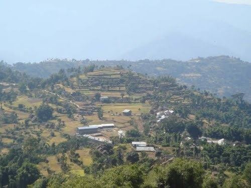
Map of Khotang, Nepal
Municipalities and Village Development Committees (VDC))
Ainselu Kharka, Arkhale, Badahare, Badka Dipali Bahunidanda, Bakachol, Baksila, Bamrang, Barahapokhari, Baspani, Batase, Bijaya Kharka, Buipa, Chhitapokhari, Chhorambu, Chipring, Chisapani, Chyandanda, Chyasmitar, Damarkhu Shivalaya, Dandagaun, Devisthan, Dharapani, Dhitung, Diktel Municipality, Dikuwa, Diplung, Dipsung, Dorpa Chiuridanda, Dubekol, Dumre Dharapani, Durchhim, Hanchaur, Indrayani Pokhari, Jalapa, Jyamire, Kahalle, Kaule, Kharmi, Kharpa, Khartamchha, Khidima, Khotang Bazar, Kubhinde, Laphyang, Lamidanda, Lichki Ramche, Linkuwa Pokhari, Magpa, Mahadevasthan, Mangaltar, Mattim Birta, Mauwabote, Nerpa, Nirmalidada, Nunthala, Patheka, Pauwasera, Phaktang, Phedi, Rajapani, Rakha Bangdel, Rakha Dipsung, Ratancha Majhagaun, Ribdung Jaleshwari, Ribdung Maheshwari, Salle, Santeshwar Chhitapokhari, Sapteshwar, Saunechaur, Sawakatahare, Simpani, Solma, Sungdel, Suntale, Woplukha, Wopung, Yamkhya