District Ghaziabad Time zone IST (UTC+5:30) Area 10 km² Population 190,005 (2011) | PIN 201001 Elevation 212 m Area code 0120 | |
 | ||
Khora colony ghaziabad a town sinking in its own sewage and garbage
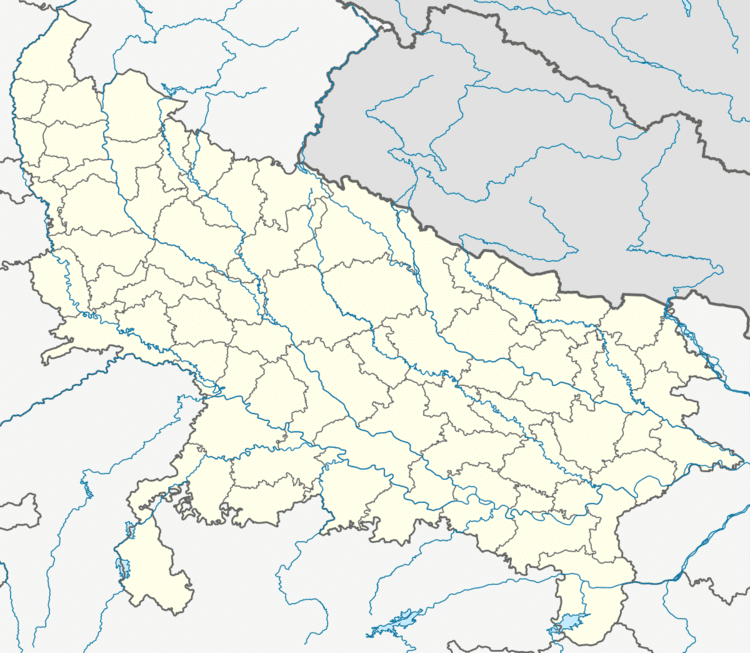
Khora is a village in Ghaziabad district in Uttar Pradesh India. The population is approx 1,000,000 (2016). It is located on NH-24 in Ghaziabad district of state Uttar Pradesh near Noida and Delhi. The area of Khora Colony is approx 10 sq. k.m. It comes under the political division of National Capital Region of India. It is bound on the West and Southwest by Ghazipur (Delhi) , on the North and Northwest by Hindon Canal, on the Northeast by Indirapuram, and on the East and South-east by Noida. Khoda colony is a sanctuary for the underdogs. Over 98% of the population is migrant from the BIMARU states (Bihar, Madhya Pradesh, Orissa, Jharkhand, rajasthan, Uttar Pradesh etc).
Contents
- Khora colony ghaziabad a town sinking in its own sewage and garbage
- Nearby Places
- How to reach
- References
Khora colony ghaziabad a town sinking in its own sewage and garbage
Nearby Places
Vaishali (Ghaziabad) (1 km), Anand Vihar (2 km), Indirapuram (1 km), Ghazipur (Delhi) (1 km), Kalyanpuri (Delhi) (2 km), Mayur Vihar phase-3 , Kondli are the nearby town to Khora. This Place is in the border of the East Delhi District and Gautam Buddha Nagar District. Gautam Buddha Nagar District Bisrakh is East towards this place.
How to reach
By road it is connected to NH 24. By Rail Anand Vihar Railway Station, Anand Vihar Railway Station are the very nearby railway stations to Khora. However Hazrat Nizamuddin Railway Station 10 km and Ghaziabad Junction railway station 9 km are major railway station near to Khora. By metro Vaishali (Ghaziabad) And Kaushambi (Ghaziabad) are the nearest metro station. by local train Anand vihar old railway station is nearest railway station.
