
ElevationKholapota 5 m (16 ft) Population 1,029 (2011) | Elevation 5 m Local time Monday 12:25 PM | |
 | ||
Block Basirhat II (community development block) Area rank Polpular rank second after Basirhat Weather 28°C, Wind N at 14 km/h, 32% Humidity | ||
Kholapota is a village in Basirhat-ii Block in North 24 Paraganas District of West Bengal State, India. It belongs to Presidency division. It is located 45 kilometres (28 mi) east from district headquarters Barasat. 60 kilometres (37 mi) from State capital Kolkata. Kholapota is surrounded by 24 Paraganas North Block and Basirhat-I Block towards the east, Baduria Block to the north, and Hasnabad Block to the south.
Contents
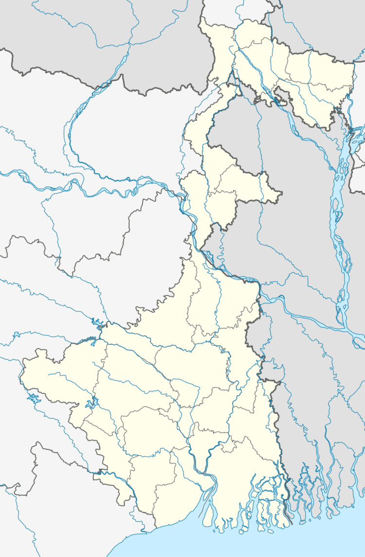
Map of Kholapota, West Bengal 700147
Geographical state
Taki, Barasat, Basirhat, and Hasnabad are nearby cities.
Champapukur Railway Station are nearby railway
Educatuon
Kholapota p k Haldar girls high school and kholapota sriabrabindo Tapoban pathmandir are nearby school.
Bank
State bank and bank of India are major bank at kholapota.
.
References
Kholapota Wikipedia(Text) CC BY-SA