Country India Vehicle registration MP Population 15,321 (2001) ISO 3166 code ISO 3166-2:IN | Time zone IST (UTC+5:30) Elevation 394 m Local time Monday 10:47 AM | |
 | ||
Weather 24°C, Wind E at 6 km/h, 27% Humidity | ||
Khilchipur is a town and a nagar panchayat in Rajgarh district in the Indian state of Madhya Pradesh. Rajgarh district's administrative headquarters is Rajgarh.
Contents
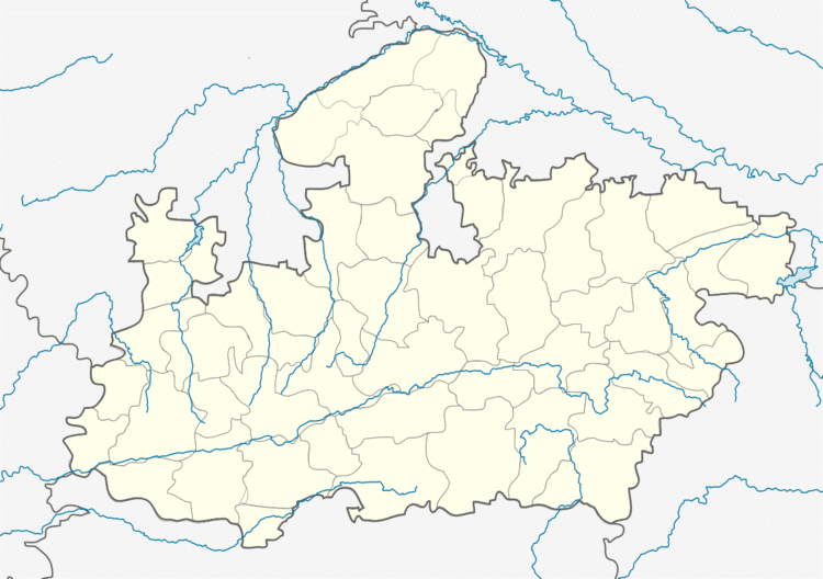
Map of Khilchipur, Madhya Pradesh 465679
History
PREDECESSORS AND SHORT HISTORY: Founded in 1544 by Dewan Ugra Sen, a Khichi Rajput, a section of the great Chauhan clan, who was forced by family dissensions to migrate from the Khichi capital of Gagraun. A grant of land was subsequently made to him by the Mughal Emperor, which included the adjoining Zirapur and Machalpur parganas, later a part of Indore state, and Shujalpur, later in Gwalior state.
Geography
Khilchipur is located at 24.03°N 76.57°E / 24.03; 76.57. It has an average elevation of 394 metres (1292 feet).
coor title dm|24|02|N|76|34|E|region:IN_type:city
Demographics
As of 2001 India census, Khilchipur had a population of 15,321. Males constitute 51% of the population and females 49%. Khilchipur has an average literacy rate of 61%, higher than the national average of 59.5%: male literacy is 72%, and female literacy is 51%. In Khilchipur, 16% of the population is under 6 years of age.
