
Vehicle registration MP Population 9,476 (2011) ISO 3166 code ISO 3166-2:IN | Time zone IST (UTC+5:30) Elevation 389 m Local time Friday 8:45 AM | |
 | ||
Weather 23°C, Wind N at 3 km/h, 37% Humidity | ||
Machalpur is a town and a nagar panchayat in Rajgarh district in the Indian state of Madhya Pradesh.
Contents
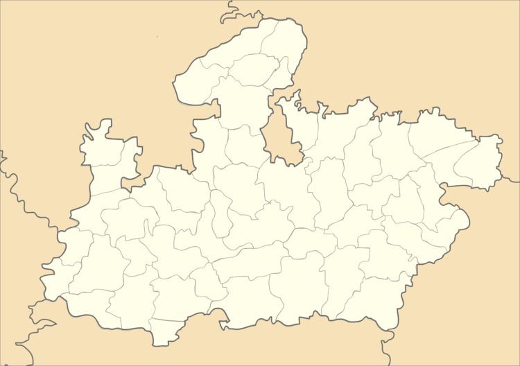
Map of Machalpur, Madhya Pradesh 465693
Geography
Machalpur is located at 24.13°N 76.3°E / 24.13; 76.3. It has an average elevation of 389 metres (1276 feet).
Demographics
As of 2011 India census, Machalpur had a population of 9476. Males constitute 52% of the population and females 48%. Machalpur has an average literacy rate of 53%, lower than the national average of 59.5%: male literacy is 67%, and female literacy is 39%. In Machalpur, 17% of the population is under 6 years of age. it is near the border of Madhya Pradesh and Rajasthan where a mix of Rajasthani and Malvi language is spoken.
References
Machalpur Wikipedia(Text) CC BY-SA