
Elevation 777 m | Time zone IST (UTC+5:30) Local time Monday 8:38 AM | |
 | ||
Weather 22°C, Wind N at 8 km/h, 31% Humidity | ||
Khatav is a town and taluka (administrative division) located in the Phaltan subdivision of the Satara district, India. Khatav has a population of about 10,000.
Contents
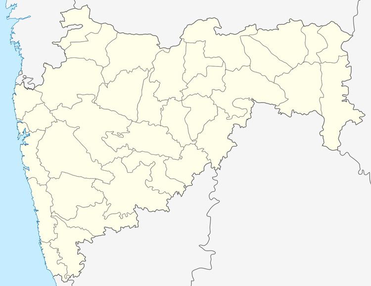
Map of Khatav, Maharashtra 415505
Geography
Khatav is situated to the south of the Satara district. Vaduj is the capital of the taluka, which is located 13 km south of Khatav. Khatav is surrounded by the Man, Karad, Phaltan and Koregaon talukas. The taluka receives less rainfall than most and is categorised as a drought affected region.
Towns in the taluka
Vaduj is the main town of Khatav Taluka. Most government offices like Telecom(BSNL), State Bank of India (SBI), PWD, district court are located in Vaduj.
Other towns in Khatav talukha are :-
* Mayani* Pusegaon* Aundh (Satara)* Kaledhon* Pusesavali* Mhasurne* Nimsod* Khatav* Diskal* Budh* Shindewadi* LalgunReferences
Khatav Wikipedia(Text) CC BY-SA