
Country India District Darrang PIN 784115 Elevation 37 m Local time Monday 8:13 AM | Time zone IST (UTC+5:30) Vehicle registration AS Population 17,783 (2001) | |
 | ||
Weather 19°C, Wind NE at 8 km/h, 72% Humidity | ||
Kharupetia (IPA: ˌkɑːrʊˈpiːtɪə) is a town and a town area committee in Darrang district in the Indian state of Assam. Kharupetia, a fast-developing commercial town Mangaldoi Sub-Division under Darrang District. It is about 17 km from Mangaldoi, the District headquarters and 87 km from Guwahati, the gateway of North East region. It is connected by National Highway 15.
Contents
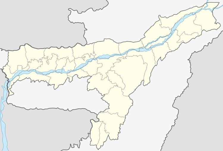
Map of Kharupetia, Assam
The town exports fresh vegetables, fish and staples across Assam and other parts of India.
Geography
Kharupetia is located at 26.52°N 92.13°E / 26.52; 92.13.Falling Rain Genomics, Inc - Kharupetia It has an average elevation of 37 metres (121 feet).
Tourist spots
Colleges and schools
and there are many numbers of Private English Medium School in Kharupetia town- Morning Star, Luit Valley.
Demographics
As of 2001 India census, Kharupetia had a population of 17,784. Males constitute 54% of the population and females 46%. Kharupetia has an average literacy rate of 73%, higher than the national average of 59.5%: male literacy is 78%, and female literacy is 68%. In Kharupetia, 12% of the population is under 6 years of age.