
Elevation 6 m Local time Monday 7:18 AM | Time zone IST (UTC+5:30) Population 11,580 (2001) | |
 | ||
Website paschimmedinipur.gov.in Weather 19°C, Wind N at 6 km/h, 53% Humidity | ||
Kharar is a municipality in Paschim Medinipur district in the Indian state of West Bengal.
Contents
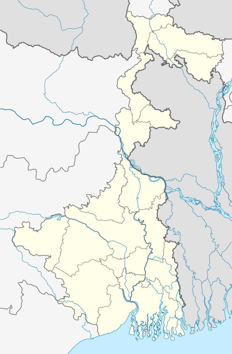
Map of Kharar, West Bengal 721222
Iswar Chandra Vidyasagar was born in Birsingh -Kharar.
History
In Ancient times, This area is famous for manufacturing brass and bell utensils. The manufacture of brass and bell utensils i.e. cups,plates,glasses,cooking pots is carried on Kharar also in its nearest areas Ghatal,Chandrokona,Ramjibanpur etc. and also the masters there are enterprising and wealthy. Principal agricultural crop is paddy, potato.
People from this Village- Kharar are settled all over India. They are mostly engaged in Gold works.They are considered as the best goldsmiths with best artisan skills.
Geography
Kharar is located at 22.7°N 87.68°E / 22.7; 87.68. It has an average elevation of 6 metres (19 feet).
Demographics
As of 2001 India census, Kharar had a population of 11,580. Males constitute 51% of the population and females 49%. Kharar has an average literacy rate of 74%, higher than the national average of 59.5%: male literacy is 81%, and female literacy is 67%. In Kharar, 11% of the population is under 6 years of age.
Education
There are two high school and more than ten primary schools in Kharar. The name of the high schools are - 1. Kharar Sri Aurobindo Vidyamandir. 2.[Kharar S.k.h.hait Balika Vidyalaya ] Ghatal Rabindra Satabarsiki Mahavidyalaya and Chandrakona Vidyasagar Mahavidyalaya are two nearest college of kharar.