
Easiest route drive | Elevation 1,089 m | |
 | ||
Similar Khao Nom Nang - Tha Kradan, Geureudong, Khao Luang, Phnom Aural | ||
Khao Nom Sao (เขานมสาว), "female breast mountain", is a land feature located in Ranong Province, Thailand.
Contents
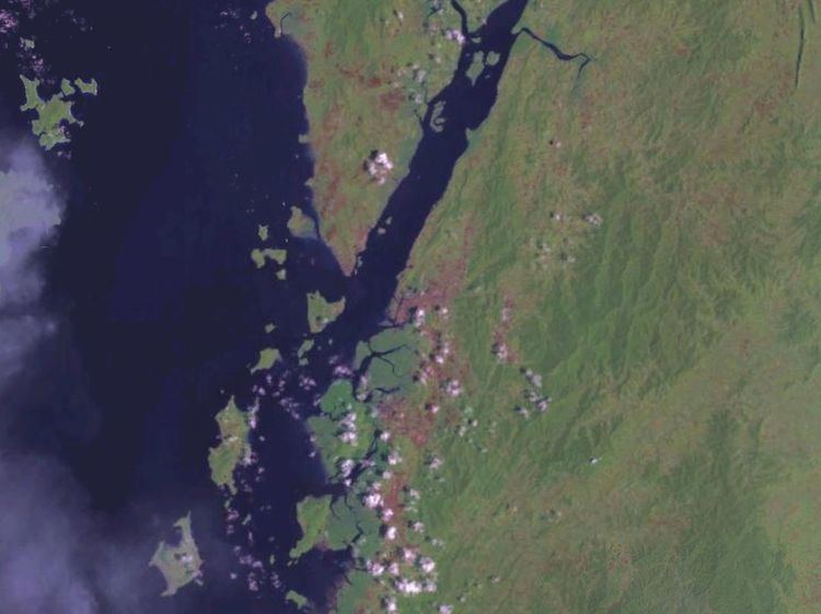
Map of Khao Nom Sao, Pak Song, Phato District, Chumphon 86180, Thailand
Description
Khao Nom Sao is the highest summit of a rugged mountain massif that stretches roughly from north to south in the Kra Isthmus. This mountain range represents an important catchment area for many rivers of the Ranong and Chumphon provinces, forming a natural border between both provinces. Khao Daen and Khao Huai Siad, are other prominent peaks of the chain, which is part of the wider Tenasserim Hills.
This mountain is included in the Namtok Ngao National Park (อุทยานแห่งชาติน้ำตกหงาว) and there are hiking trails that allow to enjoy the surrounding scenery.
References
Khao Nom Sao Wikipedia(Text) CC BY-SA