
Time zone IST (UTC+5:30) Elevation 27 m | 2011 census code 552628 Population 440 (2011) | |
 | ||
Yogiraj maharaj khandval kirtan mah00131
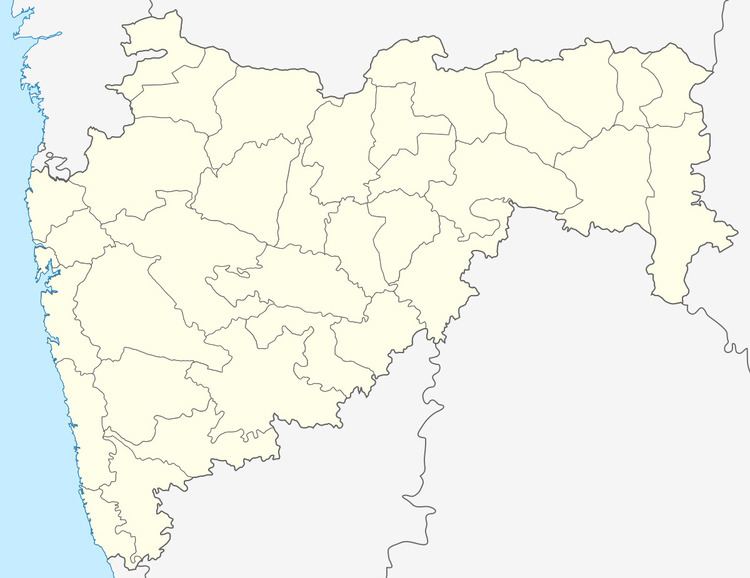
Khandval is a village in the Thane district of Maharashtra, India. It is located in the Bhiwandi taluka.
Contents
- Yogiraj maharaj khandval kirtan mah00131
- Map of Khandval Maharashtra 421302
- Yogiraj maharaj khandval kirtan mah00133
- Demographics
- References
Map of Khandval, Maharashtra 421302
Yogiraj maharaj khandval kirtan mah00133
Demographics
According to the 2011 census of India, Khandval has 77 households. The effective literacy rate (i.e. the literacy rate of population excluding children aged 6 and below) is 82.26%.
References
Khandval Wikipedia(Text) CC BY-SA