
Country Afghanistan Time zone AST (UTC+04:30) | ||
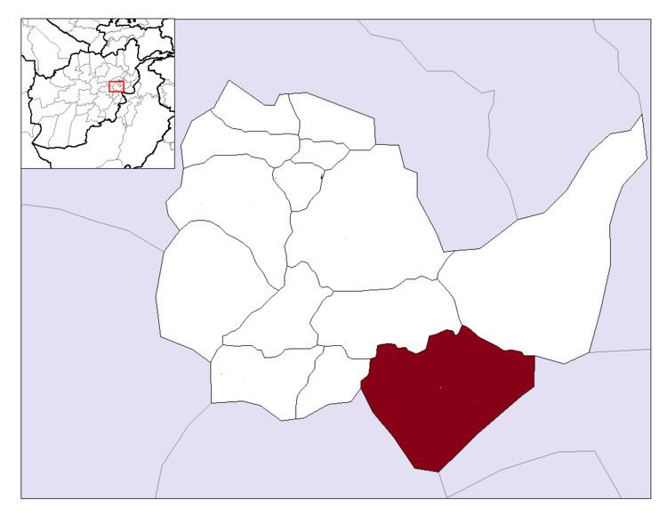 | ||
Khaki Jabbar District is a mountainous district situated in the southeastern part of Kabul Province, Afghanistan. The district headquarters is Khak-i Jabbar village, which is located in the central part of the district.
Contents
Map of Khake Jabar, Afghanistan
Demographics
Like in the rest of Afghanistan, no exact population numbers are available. The Afghan Ministry of Rural Rehabilitation & Development (MRRD) along with UNHCR estimates the population of the district to be around 7,461. According to AIMS and UNHCR, the overwhelmingly majority of the population are Pashtuns (at 60%), while the remaining 40% are ethnic Tajiks.
Geography
Khaki Jabbar district borders Logar Province and Mussahi District to the west, Bagrami and Surobi districts to the north, and Nangarhar Province to the east.
Among the major villages in the district are Chakari, Malang, Khurd Kabul, and Karo Khail.