
Population 534 (2011 census) Local time Monday 6:13 AM | Postcode(s) 5353 Postal code 5353 | |
 | ||
Weather 14°C, Wind SW at 8 km/h, 93% Humidity | ||
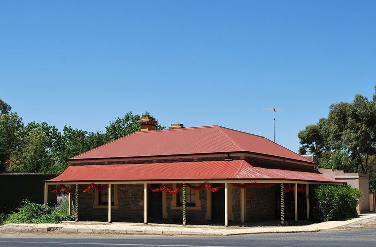
Keyneton is a locality in South Australia. The town is in the Mid Murray Council local government area, 82 kilometres (51 mi) north-east of the state capital, Adelaide. At the 2011 census, Keyneton and the surrounding area had a population of 534.
Map of Keyneton SA 5353, Australia
The town was named after English pastoralist Joseph Keynes (related to the Keynes Family), who had settled the area in 1842 and whose descendants still live and farm in the area. It is in the Eden Valley wine region.
The historic former North Rhine Mine Engine House in Pine Hut Road and the Bridge Over the River Somme on the Sedan-Angaston Road are listed on the South Australian Heritage Register.
References
Keyneton, South Australia Wikipedia(Text) CC BY-SA