
District Bardhaman Assembly constituency Ketugram Area 194 km² | Parliamentary constituency Bolpur Elevation 59 ft (18 m) Population 165,408 (2011) | |
 | ||
Ketugram I is a community development block that forms an administrative division in Katwa subdivision of Bardhaman district in the Indian state of West Bengal.
Contents
Geography
Rajoor, a constituent gram panchayat of Ketugram I block, is located at 23°42′36″N 87°57′24″E.
Ketugram I CD Block is part of the Kanksa Ketugram plain, which lies along the Ajay. The river forms the southern boundary of the CD Block. The soil is alluvial of recent origin.
Ketugram I CD Block is bounded by Bharatpur I CD Block, in Murshidabad district, on the north, Bharatpur II CD Block, in Murshidabad district, and Ketugram II CD Block on the east, Mangolkote CD Block on the south and Nanoor and Labpur CD Blocks, in Birbhum district, on the west.
It is located 62 km from Bardhaman, the district headquarters.
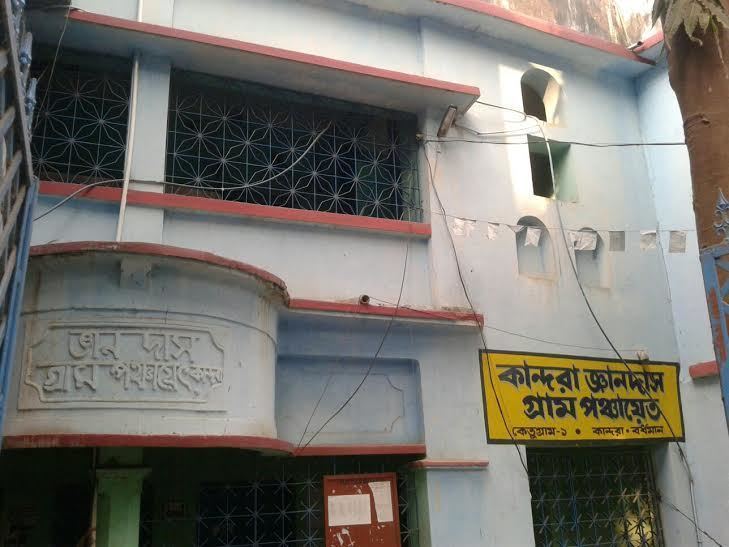
Ketugram I CD Block has an area of 193.98 km2. It has 1 panchayat samity, 8 gram panchayats, 117 gram sansads (village councils), 66 mouzas and 62 inhabited villages. Ketugram police station serves this block.Headquarters of this CD Block is at Kandra.
Gram panchayats of Ketugram I block/panchayat samiti are: Agardanga, Ankhona, Berugram, Kandra-Jnandas, Murgram-Gopalpur, Palita, Pandugram and Rajoor.
Population
As per the 2011 Census of India Ketugram I CD Block had a total population of 165,408, all of which were rural. There were 84,966 (51%) males and 80,442 (49%) females. Population below 6 years was 21,009. Scheduled Castes numbered 42,660 (25.79%) and Scheduled Tribes numbered 1,025 (0.62%).
As per 2001 census, Ketugram I block had a total population of 146,013, out of which 74,513 were males and 71,500 were females. Ketugram I block registered a population growth of 16.38 per cent during the 1991-2001 decade. Decadal growth for Bardhaman district was 14.36 per cent.Decadal growth in West Bengal was 17.84 per cent.Scheduled castes at 40,271 formed around one-third the population. Scheduled tribes numbered 1,491.
Large villages (with 4,000+ population) in Ketugram I CD Block are (2011 census figures in brackets): Chakta (4,582), Ankhona (6,554), Morgram (6,197), Murgram (5,919), Amgaria (6,904), Kandra (11,534), Komarpur (4,110), Rajur (5,776), Khanji (4.052), Ehiapur (5,732), Palita (4,342) and Pandugram (4,178).
Other villages in Ketugram I CD Block included (2011census figures in brackets): Agardanga (2,767), Berugram (3,489) and Gopalpur (3,157).
Literacy
As per the 2011 census, the total number of literates in Ketugram I CD Block was 98,192 (68.00% of the population over 6 years) out of which males numbered 54,043 (72.81% of the male population over 6 years) and females numbered 44,149 (62.91% of the female population over 6 years). The gender disparity (the difference between female and male literacy rates) was 9.90%.
As per the 2001 census, Ketugram I block had a total literacy of 59.88 per cent for the 6+ age group. While male literacy was 67.78 per cent female literacy was 51.63 per cent. Bardhaman district had a total literacy of 70.18 per cent, male literacy being 78.63 per cent and female literacy being 60.95 per cent.
See also – List of West Bengal districts ranked by literacy rate
Languages and religion
Bengali is the local language in these areas.
In 2001, Bengali was the mother-tongue of 79.9% of the population of Bardhaman district, Hindi was the mother-tongue of 10.9%, Santali 4.9%, Urdu 2.8%, Bhojpuri 0.1% and Oraon 0.1%. There were other languages spoken by small percentages. However, as of 2017, CD Block-wise/ other region-wise break-up of mother tongue is not available in census/ other official sources.
In the 2011 census, Hindus numbered 87,635 and formed 52.98% of the population in Ketugram I CD Block. Muslims numbered 77,354 and formed 46.77% of the population. Christians numbered 95 and formed 0.06% of the population. Others numbered 324 and formed 0.20% of the population.
In Bardhaman district the percentage of Hindu population has been declining from 84.3% in 1961 to 77.9% in 2011 and the percentage of Muslim population has increased from 15.2% in 1961 to 20.7% in 2011.
Rural poverty
As per poverty estimates obtained from household survey for families living below poverty line in 2005, rural poverty in Ketugram I CD Block was 44.87%.
Livelihood
In Ketugram I CD Block in 2011, amongst the class of total workers, cultivators formed 23.27%, agricultural labourers 51.57%, household industry workers 4.25% and other workers 20.91%.
In Ketugram I CD Block, cultivators or agricultural labourers formed a large portion of the workforce, comparatively less workers were engaged in the secondary and tertiary sectors. In the decade 1991-2001 cultivators decreased and the secondary and tertiary sectors increased.
Infrastructure
All 66 or 100% of mouzas in Ketugram I CD Block were electrified by 31 March 2014.
All 66 mouzas in Ketugram I CD Block had drinking water facilities in 2013-14. There were 27 fertiliser depots and 55 fair price shops in the CD Block.
Agriculture
Although the Bargadari Act of 1950 recognised the rights of bargadars to a higher share of crops from the land that they tilled, it was not implemented fully. Large tracts, beyond the prescribed limit of land ceiling, remained with the rich landlords. From 1977 onwards major land reforms took place in West Bengal. Land in excess of land ceiling was acquired and distributed amongst the peasants.Following land reforms land ownership pattern has undergone transformation. In 2013-14, persons engaged in agriculture in Ketugram I CD Block could be classified as follows: bargadars 9.58%, patta (document) holders 6.77%, small farmers (possessing land between 1 and 2 hectares) 5.78%, marginal farmers (possessing land up to 1 hectare) 19.18% and agricultural labourers 58.69%.
In 2003-04, net cropped area in Ketugram I CD Block was 15,148 hectares and the area in which more than one crop was grown was 6,337 hectares.
In 2013-14, Ketugram I CD Block produced 46,641 tonnes of Aman paddy, the main winter crop from 15,783 hectares, 23,379 tonnes of Boro paddy (spring crop) from 6,326 hectares, 3 tonnes of wheat from 1 hectare, 2,436 tonnes of potatoes from 146 hectares and 6,952 tonnes of sugar cane from 76 hectares. It also produced pulses and oilseeds.
In 2013-14, the total area irrigated in Ketugram I CD Block was 286.96 hectares, out of which 27.87 hectares were irrigated by river lift irrigation and 259.09 hectares by deep tube wells.
Banking
In 2013-14, Ketugram I CD Block had offices of 4 commercial banks and 3 gramin banks.
Transport
Ketugram I CD Block has 4 ferry services and 3 originating/ terminating bus routes.
SH 6, running from Rajnagar (in Birbhum district) to Alampur (in Howrah district) and SH 7 running from Rajgram (in Birbhum district) to Midnapore (in Paschim Medinipur district) cross at Kurmodanga in this CD Block.
Education
In 2013-14, Ketugram I CD Block had 100 primary schools with 9,481 students, 4 middle schools with 354 students, 16 high school with 9,304 students and 9 higher secondary schools with 6,233 students. Ketugram I CD Block had 1 general college with 2,433 students, 1 technical/ professional institution with 100 students and 281 institutions for special and non-formal education with 15,724 students
Kandra Radha Kanta Kundu Mahavidyalaya, established in 2001, is affiliated to the University of Burdwan.
Healthcare
In 2014, Ketugram I CD Block had 1 block primary health centre and 2 primary health centres with total 28 beds and 5 doctors (excluding private bodies). It had 24 family welfare subcentres. 10,083 patients were treated indoor and 180,625 patients were treated outdoor in the hospitals, health centres and subcentres of the CD Block.
Ketugram I CD Block is one of the areas of Bardhaman district which is affected by a low level of arsenic contamination of ground water.