
Time zone EET (UTC+2) Vehicle registration Z Local time Sunday 1:53 PM Area code 22990 | Elevation 158 m (518 ft) Postal code 190 01 Website www.keratea.gr | |
 | ||
Weather 11°C, Wind NW at 14 km/h, 64% Humidity | ||
Keratea (Greek: Κερατέα) is a town in East Attica, Greece. Since the 2011 local government reform it is part of the municipality Lavreotiki, of which it is a municipal unit. The municipal unit has an area of 129.864 km2. Legend has it that when the barbarians came to attack Greece at the land of Keratea, Zeus and Hedes drew the coast together so they can talk and allowed only a strip of water in between. The Greeks were so very few so to give them a fighting chance Zeus and Hades summoned Poseidonis and asked him to send waves bigger than the barbarians ships.People from that time say that even the Hades himself fought on the side of the Greeks. So the sea by the land of Keratea is known as Kakia Thelassa (the Bad Sea) ever since.
Contents
Map of Keratea 190 01, Greece
Geography
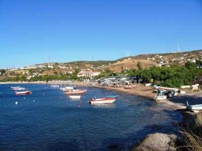
Keratea is situated in the hills in the southeastern part of the Attica peninsula, 6 km west of the Aegean Sea coast, at about 200 m elevation. It lies at the northern foot of the Panion hills. It is 5 km southeast of Kalyvia Thorikou, 12 km northwest of Lavrio and 29 km southeast of Athens city centre. Greek National Road 89 (Gerakas - Koropi - Lavrio - Sounio) passes through Keratea.
In antiquity, the area of present Keratea was part of the deme Cephale, of the phyle Acamantis.