
District Adilabad Time zone IST (UTC+5:30) Elevation 282 m | Area rank 9898 Vehicle registration TS01 Local time Sunday 5:18 PM | |
 | ||
Weather 32°C, Wind NW at 10 km/h, 19% Humidity | ||
Kerameri ghat creat by ibbu
Kerameri or Kerimeri is a village and a Mandal in Adilabad district in the state of Telangana in India.
Contents
- Kerameri ghat creat by ibbu
- Map of Kerimeri Telangana
- Kerameri fun
- Geography
- Villages
- Transport
- References
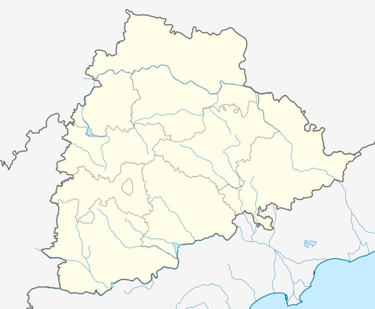
Map of Kerimeri, Telangana
Kerameri fun
Geography
Kerimeri is located at 19.4333°N 79.0500°E / 19.4333; 79.0500. It has an average elevation of 282 metres (928 ft).
Villages
The villages in Kerameri mandal includes: Ananthapur, Devapur, Goyagaon, Karanjiwada, Kerameri, Khairi, Kothari, Modi, Nishani, Parandholi, Sangvi and Surdapur.
Transport
Telangana's Kashmir "Kerameri" Ghat roads can be reached by Bus and trains.
By Road - They are number of buses from Hyderabad MGBS to Asifabad . From asifabad we can reach this place within 40 minutes.
By Rail - Trains from Secunderabad to Nagpur stretch. Main stations to reach this place is Asifabad Road-ASAF, Sirpur Kaghaznagar-SKZR.
References
Kerameri Wikipedia(Text) CC BY-SA