Population 0 (2011 census) Postcode(s) 6182 Area 4 km² Postal code 6182 | Established 2007 Founded 2007 Local time Sunday 7:46 PM | |
 | ||
Weather 21°C, Wind NE at 18 km/h, 86% Humidity | ||
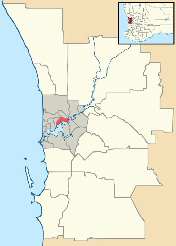
Keralup is a suburb straddling the southern boundary of the metropolitan area of Perth, Western Australia, on the eastern side of the Kwinana Freeway, and consists entirely of a government strategic landholding. The suburb will ultimately contain 90,000 people, with the majority of development being on the eastern side of the Serpentine River.
Map of Keralup WA 6182, Australia
The name was chosen from a newspaper poll; it was proposed by local Nyoongar leader, Trevor Walley, as it was the name of a pool in the Serpentine River in which he and his friends played as children.
References
Keralup, Western Australia Wikipedia(Text) CC BY-SA
