
Alternate name 38Oc1 Condition Submerged | Type Settlement Local time Sunday 6:26 AM | |
 | ||
Weather 3°C, Wind E at 5 km/h, 95% Humidity | ||
Keowee was a Cherokee town in the north of present-day South Carolina. Located along the Lower Cherokee Traders Path, part of the Upper Road through the Piedmont, it was settled in what is present-day Oconee County, the westernmost county of South Carolina, at the foot of the Blue Ridge Mountains, just north of Clemson. Located on the banks of the Keowee River, Keowee was submerged beneath the waters of Lake Keowee when the river was dammed in a mid-20th century power project.
Contents
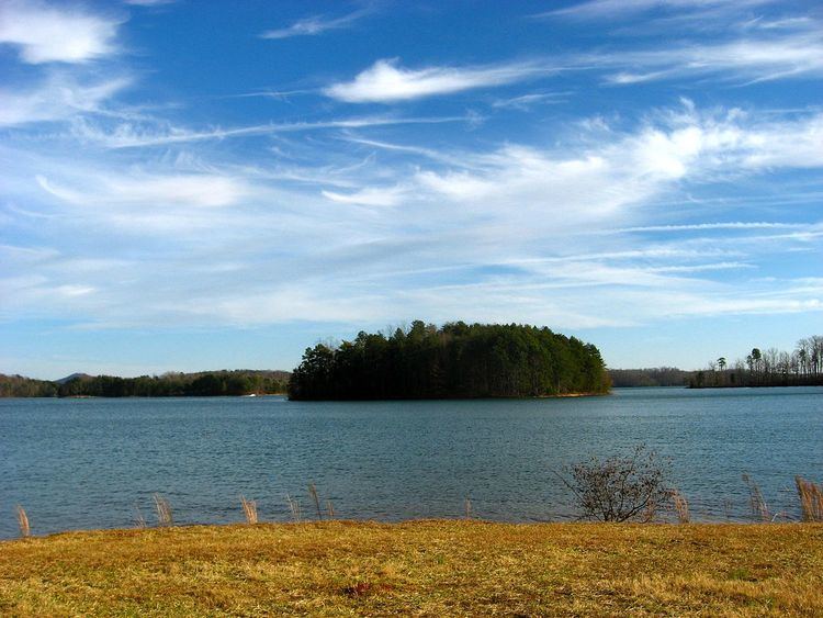
Map of Keowee, South Carolina 29678, USA
In the early half of the 18th century, approximately 2100 Cherokee inhabited sixteen towns east of the Blue Ridge Mountains. The Cherokee people were geographically divided into three regions: the Overhill Towns, the Middle Towns, and the Lower Towns. For the Cherokee, towns were the most important units of government. There were seven Cherokee villages, of which Keowee was one, and the rulers or chiefs of each had a substantial amount of authority. Keowee was principal among the Cherokee "Lower Towns". Keowee Town is translated into "place of mulberries." It was also known as "Old Keowee" to distinguish it from other towns of the same name.
Keowee was the birthplace (around 1770) of the father of John Norton. Norton, who became a chief of the Mohawk, was of half Cherokee and half Scots ancestry. His writings provide a rare American Indian perspective of the early 19th century in the United States. Norton spells the town name as Kuwoki.
When naturalist William Bartram visited the town site in May 1776, he noted no Cherokee lived there. Before then, the British colonists razed the town in the Anglo-Cherokee War.
Role during French and Indian War
The Cherokee played a significant role in the French and Indian War (1754–1763) (the North American front of the Seven Years' War in Europe between Britain and France), allying with King George II and the British. The alliance came partly as a result of Sir Alexander Cuming, who visited Keowee on March 23, 1730 and soliciting the Cherokee as allies. This alliance resulted in the English building a fort east of Keowee on the Savannah River. During the French and Indian War, Nathaniel Gist urged one hundred Cherokee warriors to attack the Shawnee tribe in the Ohio River region, but only if this fort would be built. The fort, ordered to be built by South Carolina governor Glen, was named Fort Prince George.
The alliance collapsed due to mutual suspicion. During the Anglo-Cherokee War (1758–1761), the British destroyed Keowee and most of the rest of the lower towns. Keowee was razed during the first British campaign under the command of Archibald Montgomery. A second army under James Grant campaigned through the remaining Lower Towns and into the Middle Towns.
Current geography
The former site of Keowee Town is now covered by Lake Keowee, formed by the damming of the Keowee River to provide cooling water for Oconee Nuclear Station. Built in 1970, it was part of a multimillion-dollar project to provide energy for upstate South Carolina. It is the first of three nuclear power plants built by Duke Power.