
Type reservoir Basin countries United States Surface elevation 123 m Width 213 m | Max. width 700 ft (210 m) Area 175 ha | |
 | ||
Primary inflows Catchment area 22.1 square miles (57 km) Similar Alpine Lake, Bon Tempe Lake, Lagunitas Creek, Lake Lagunitas, Nicasio Reservoir | ||
Kent lake ca 6 21 2013
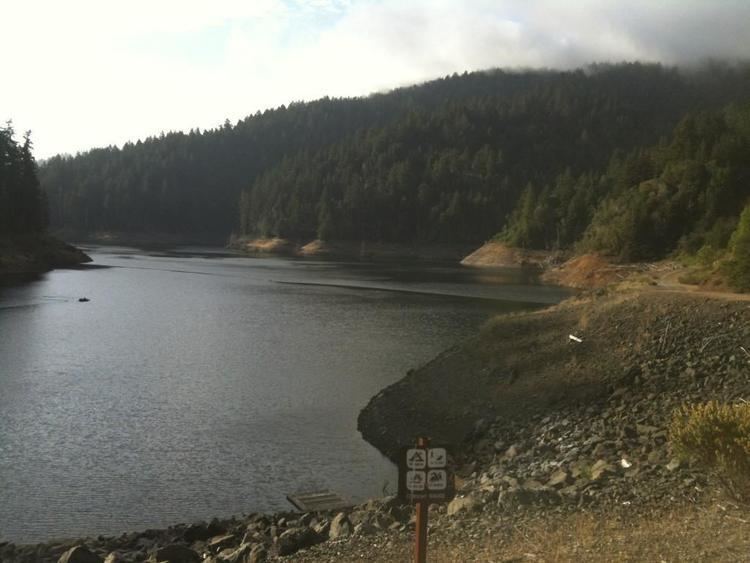
Kent Lake is a reservoir in western Marin County, California formed by the construction of Peters Dam across Lagunitas Creek. Built in 1954, the lake is the most recent lake of the Marin Municipal Water District, as well as the largest.
Contents
Map of Kent Lake, California, USA
Top of kent lake spill way
AccessEdit
Unlike the other lakes in the area, Kent Lake has almost no hiking trails around it. By automobile, major access points to the area include parking to the southeast off the Bolinas Fairfax road, or from the northwest, with seasonal parking off Sir Francis Drake Blvd or in one of the pullouts along the road. Minor access points include the dam at the southwestern point of Alpine Lake on the Bolinas Fairfax road. Despite the lack of trails, Kent Lake can be traversed or accessed by foot, bike, or horse from unpaved roads such as Pine Mountain road, which runs to the highest elevation, Kent Pump road which runs from the Alpine Lake dam down to the lake at low elevation, or Continental Cove road at the north. Visitors should be prepared for the size of the area and the mountainous terrain surrounding the lake.