
Vehicle registration JH Elevation 196 m Local time Sunday 7:27 AM | Time zone IST (UTC+5:30) Website dhanbad.nic.in Population 8,354 (2001) | |
 | ||
Weather 19°C, Wind N at 2 km/h, 77% Humidity | ||
Kenduadih is a census town in Dhanbad district in the Indian state of Jharkhand.
Contents
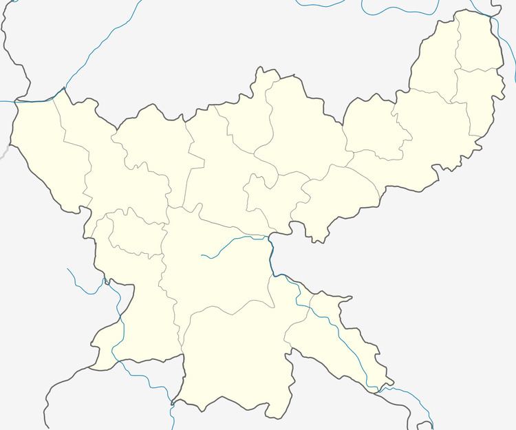
Map of Kenduadih, Jharkhand
Geography
Kenduadih is located at 23.78°N 86.38°E / 23.78; 86.38. It has an average elevation of 196 metres (643 feet).In and around a number of open cast mines operated by B.C.C.L.
Demographics
As of 2001 India census, Kenduadih had a population of 8,354. Males constitute 54% of the population and females 46%. Kenduadih has an average literacy rate of 57%, lower than the national average of 59.5%: male literacy is 69%, and female literacy is 43%. In Kenduadih, 15% of the population is under 6 years of age.
References
Kenduadih Wikipedia(Text) CC BY-SA