
- elevation 154 m (505 ft) Basin area 4,851 km² | - elevation 3 m (10 ft) | |
 | ||
- location northwest of Bally Junction - location near the Kulinchin Outstation | ||
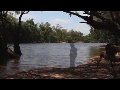
The Kendall River is a river located in Far North Queensland, Australia.
The headwaters of the river rise in the Great Dividing Range and flows in a south westerly direction through mostly uninhabited country across Cape York Peninsula. It eventually discharges into the Holroyd River near the Kulinchin Outstation and then onto the Gulf of Carpentaria.
The river has a catchment area of 4,851 square kilometres (1,873 sq mi) of which an area of 93 square kilometres (36 sq mi) is composed of palustrine wetlands.
The traditional owners of the area are the Wik-Munkan and Mimungkun peoples.
Named by the pastoralists, Francis Lascelles Jardine and Alexander William Jardine in 1863. It was originally known as Kendall Creek and was named after a poet friend of their surveyor, Thomas Henry Kendall.