
- elevation 187 m (614 ft) - elevation 0 m (0 ft) Basin area 10,286 km² | - location below Mount White - location Kulinchin Outstation - average 57 m/s (2,013 cu ft/s) | |
 | ||
Across the top episode 2 coleman holroyd rivers all 4 adventure tv
The Holroyd River is a river located on the Cape York Peninsula in Far North Queensland, Australia.
Contents
- Across the top episode 2 coleman holroyd rivers all 4 adventure tv
- Map of Holroyd River Queensland Australia
- Course and features
- References
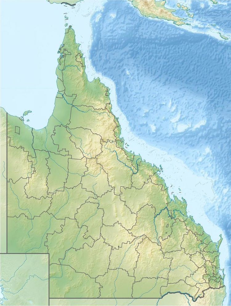
Map of Holroyd River, Queensland, Australia
Course and features
The headwaters of the river rise south of Mount White in the McIlwraith Range in the Great Dividing Range. It then flows westwards forming a series of braided channels and continuing through the uninhabited country until merging with the Kendall river near the Kulinchin Outstation and discharging into the Gulf of Carpentaria. The river is joined by eight tributaries including the Kendall River, Sandlewood Creek, Station Creek, Potlappa Creek, The Big Spring, First Spring, Christmas Creek and the Kendle River.
The catchment area of the creek occupies an 10,286 square kilometres (3,971 sq mi) of which an area of 60 square kilometres (23 sq mi) is composed of estuarine wetlands. A variety of landscapes are found within the catchment including tropical savannah woodlands, open grasslands, beach ridges, wetlands and paperbark stands.
The river has a mean annual discharge of 1,799 gigalitres (3.957×10¹¹ imp gal; 4.752×10¹¹ US gal).
The river was named in 1864 by the pastoralist Francis Lascelles Jardine after the explorer, doctor and politician Arthur Todd Holroyd.
The traditional owners of the area are the Wik, Bakanh, Thaayorre and Kaanju peoples who inhabited the drainage basin for thousands of years.