
Time zone CET (UTC+1) Area 66.7 km² Population 3,019 (2002) | County Bács-Kiskun Postal code 6423 Local time Saturday 9:52 PM Area code 77 | |
 | ||
Weather 6°C, Wind N at 10 km/h, 63% Humidity | ||
Kelebia is a village in Bács-Kiskun county, in the Southern Great Plain region of southern Hungary. The railway crossing into the Serbian province of Vojvodina is located here.
Contents
Map of Kelebia, 6423 Hungary
History
The border drawn in 1918 split one village into two countries, Hungary and Kingdom of Serbs, Croats and Slovenes. Today, the towns are called Kelebia in Hungary and Kelebija in Serbia.
Geography
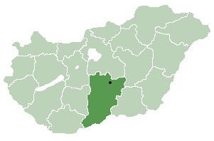
It covers an area of 66.7 km2 (26 sq mi) and has a population of 3019 people (2002).
References
Kelebia Wikipedia(Text) CC BY-SA