
Local time Sunday 2:18 AM | ||
 | ||
Weather 17°C, Wind E at 14 km/h, 90% Humidity | ||
Kei Ling Ha (Chinese: 企嶺下) is an area on the Sai Kung Peninsula, in eastern New Territories of Hong Kong. Administratively, it is part of Tai Po District.
Contents
Map of Kei Ling Ha Lo Wai, Hong Kong
It is a very good place for countryside visits, picnicking and bird watching.
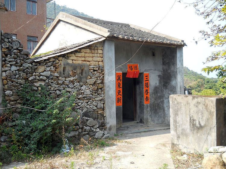
Kei Ling Ha Lo Wai (企嶺下老圍) and Kei Ling Ha San Wai (企嶺下新圍) are villages within this area.
Location
Kei Ling Ha is located at the coastal area near Sai Sha Road, at the junction of Ma On Shan Country Park and Sai Kung West Country Park. It is located in the innermost shore of Three Fathoms Cove which known as Kei Ling Ha Hoi indigenously.
Ecology
Kei Ling Ha is the site of a rocky shore. Mangrove can be found at Kei Ling Ha Lo Wai, and the site has been a Site of Special Scientific Interest since 1994. It is the habitat of fiddler crabs.
Transport
Kei Ling Ha is served by Sai Sha Road. The end of Stage 3 and start of Stage 4 of the MacLehose Trail is located at Shui Long Wo (水浪窩), part of Kei Ling Ha.