
Constituency Kazo County Elevation 1,300 m | County Kazo County Time zone EAT (UTC+3) Local time Saturday 3:56 PM | |
 | ||
Weather 17°C, Wind SE at 13 km/h, 90% Humidity | ||
Location
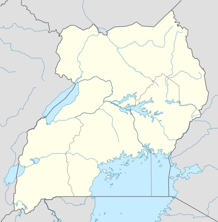
The town is approximately 85 kilometres (53 mi), by road, north of Mbarara, the largest city in the Ankole sub-region. It is about 275 kilometres (171 mi), by road, southwest of Kampala, the capital and largest city of Uganda. The coordinates of Kazo are 0°03'10.0"S, 30°45'25.0"E (Latitude:-0.052778; Longitude:30.756944).
Points of interest
The Nyakahita–Kazo–Kamwenge–Fort Portal Road passes through the middle of town. Kazo is also the headquarters of Kazo sub-county, consisting of seven parishes.
Population
In 2012, the Uganda Bureau of Statistics projected the population of Kazo Municipality at 10,200.
References
Kazo, Uganda Wikipedia(Text) CC BY-SA