District Ödemiş Time zone EET (UTC+2) Population 1,331 (2011) | Elevation 190 m (630 ft) Postal code 35763 Area code 0232 | |
 | ||
Kayaköy (literally "rock ville") is a town in İzmir Province, Turkey
Contents
- Map of KayakC3B6y KayakC3B6y Mahallesi 35750 C396demiC59F2FC4B0zmir Turkey
- Geography
- History
- Economy
- Trivia
- References
Map of Kayak%C3%B6y, Kayak%C3%B6y Mahallesi, 35750 %C3%96demi%C5%9F%2F%C4%B0zmir, Turkey
Geography
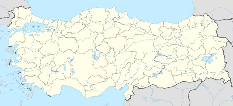
Kayaköy is a part of Ödemiş district of İzmir province. It is at 38°12′N 27°49′E. Distance to Ödemiş is 17 kilometres (11 mi) and to İzmir is 100 kilometres (62 mi). The population of Kayaköy is 1331. as of 2011.
History
The area around Kayaköy was a zeamet (a kind of fief) during Ottoman era. But beginning by the 19th century, Ottoman government began settling nomadic tribes to former fief lands. A part of the Turkmen tribe of Sarıkeçili from South Anatolia was settled in Kayaköy. Kayaköy was declared a seat of township in 1990.
Economy
Kayaköy is situated in a fertile plain. But irrigation facilities need to be developed. Once popular industrial crops like tobacco and cotton are no more popular. They are replaced by potato, pepper and watermelon. Animal husbandry and dairy farming, the traditional source of living of the nomads, are still popular.
Trivia
The mansion of Çakırcalı Mehmet Efe, a bandit and a folk hero is in Kayaköy and the governace of İzmir Province has decided to restore the mansion. (His grave is also in Kayaköy.)
