
Postal code 5440 Area 147.6 km² | Time zone BST (UTC+6) Website Official Map of Kaunia Population 227,805 (2011) | |
 | ||
Kaunia (Bengali: কাউনিয়া) is an Upazila of Rangpur District in the Division of Rangpur, Bangladesh.
Contents
Map of Kaunia, Bangladesh
Geography
Kaunia is located at 25.7708°N 89.4167°E / 25.7708; 89.4167 . It has 35487 households and total area 147.6 km². Tista river flows beside this upazila.
Demographics
As of the 1991 Bangladesh census, Kaunia has a population of 184997. Males constitute 51.26% of the population, and females 48.74%. This Upazila's eighteen up population is 88987.52.5% male and 47.5% female. Kaunia has an average literacy rate of 22.7% (7+ years), and the national average of 32.4% literate.
Economy
Agriculture is the main economical root of maximum people of this Upazila.
Administration
Kaunia Upazila (Rangpur District) with an area of 147.6 km², is bounded by Gangachara and Lalmonirhat sadar upazilas on the north, Pirgachha upazila on the south, Rajarhat upazila on the east, Rangpur sadar upazila on the west. Main rivers are Tista, Burail. Kaunia has 6 Unions (Haragach, Sharai, Kursha, Shahidbag, Balapara, Tepa Modhupur), 89 Mauzas/Mahallas, and 78 villages. Kaunia (Main Town) consists of three mouzas (Harishwar, Nizpara and). It has an area of 6.49 km². The town has a population of 11125; male 52.5%, female 47.5%. The density of population is per km² 1714.
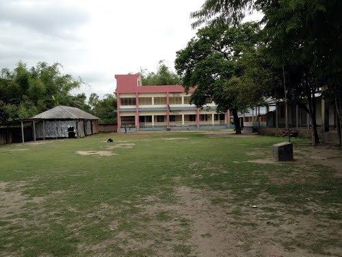
Education
The people of the Kaunia are developed in education sector. About 82% people are educated. There are many educational institute. Kaunia College is one of the best college in Kaunia as well as Rangpur.