
Vehicle registration PE Elevation 306 m Population 2,840 (1 Apr 2009) Postal code 4223 | Time zone CET (UTC+1) Website www.katsdorf.at Area 14.7 km² Local time Saturday 5:25 AM Area code 07235 | |
 | ||
Weather 1°C, Wind N at 3 km/h, 92% Humidity | ||
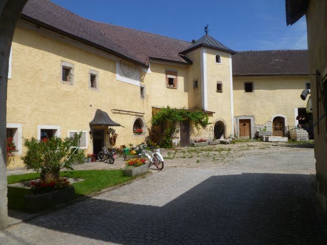
Katsdorf is a municipality in the district Perg in the Austrian state of Upper Austria.
Contents
Map of 4223 Katsdorf, Austria
Geography
Katsdorf lies in the Mühlviertel. About 11 percent of the municipality is forest, and 76 percent is farmland.
World War II
On May 5, 1945, Major General Holmes Ely Dager's 11th Armored Division captured Katsdorf. On August 1, 1945, Soviet troops took over.
References
Katsdorf Wikipedia(Text) CC BY-SA