
Local time Saturday 6:52 AM | Time zone IST (UTC+5:30) | |
 | ||
Weather 24°C, Wind NE at 8 km/h, 79% Humidity | ||
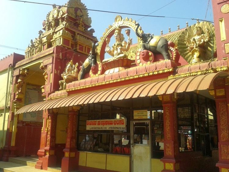
Kateel or Kateelu (Tulu/Kannada: ಕಟೀಲು) is a temple town in the Dakshina Kannada district of the Indian state of Karnataka. It is considered one of the holiest Hindu temple towns in India.
Contents
Map of Kateel, Karnataka 574148
Geography
It is about 26 kilometers away from Mangaluru.
Etymology
In Sanskrit, 'Kati' means 'center'. Kateel is midway between Kanakagiri, the source of the river, and Pavanje, where the river joins the sea. 'Ila' means area (land), thus the place is called 'Kati + lla', Kateel.
Transport
The nearest airport is Mangalore International Airport, 16 kilometers away. The nearest railway station is Mangalore, 18.8 kilometers away. Kateel is well connected by public transport to nearby religious places such as Udupi, Subrahmanya and Dharmasthala.
Shri Durga Parameshwari Temple
The town hosts the temple of Sri Durga Parameshwari. The temple is situated on an islet in the middle of the sacred river Nandini amidst panoramic scenes and fascinating greenery. Thousands of devotees visit Kateel every day to seek blessings from goddess Durga Parameshwari.