
Country Uganda | Region Central Uganda Time zone EAT | |
 | ||
Division Kampala Central Division Restaurants Salama Restaurant, Millie's Restaurant | ||
A walk through katanga slums
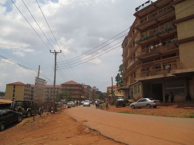
Katanga Slum is a settlement located in the valley between Mulago Hospital and Makerere University, in Uganda's capital city, Kampala.
Contents
- A walk through katanga slums
- Map of Katanga Slum Kampala Uganda
- Hope for life katanga slum report
- Location
- Overview
- References
Map of Katanga Slum, Kampala, Uganda
Hope for life katanga slum report
Location
Katanga slum is located in Kawempe Division. It is bordered by Bwaise to the north, Mulago to the east, Wandegeya to the west, and Nakasero to the south.
Overview
Katanga slum stretches about 1.5 kilometres from Wandegeya to Kubiri, near Bwaise. Katanga is divided into two administrative Local Council 1 zone, "Busia zone" and "Kimwanyi zone". It is developed with students hostels as viewd from Wandegeya, and temporary structures built with timber or mad and bricks. The temporary structures are mostly close to Mulago hospital.
References
Katanga Slum Wikipedia(Text) CC BY-SA