
Elevation 1,180 m | Time zone EAT (UTC+3) Local time Thursday 2:46 PM | |
 | ||
Weather 24°C, Wind S at 14 km/h, 74% Humidity | ||
Bwaise slum in kampala uganda the tour
Bwaise is a neighborhood within Kampala, Uganda's capital, and largest city. Due to lack of proper urban planning, it has grown into a commercial, industrial and residential township with poor infrastructure. The lack of developed infrastructure and poor service provision has exposed the town dwellings and residents to several challenges including flooding and water borne diseases.
Contents
- Bwaise slum in kampala uganda the tour
- Map of Bwaise Kampala Uganda
- Location
- Points of interest
- References
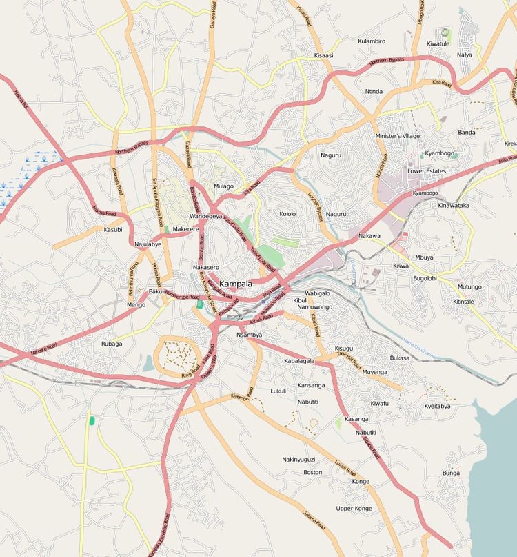
Map of Bwaise, Kampala, Uganda
Location
Bwaise is bordered by Kawempe to the north, Kyebando to the east, Mulago to the southeast, Makerere to the south and Kasubi to the southwest. This location lies approximately 5 kilometres (3.1 mi), by road, north of Kampala's central business district. The coordinates of Bwaise are:00 21 00N, 32 33 40E (Latitude:0.3500; Longitude:32.5610).
Bwaise is a slum, one of the poorest areas in the city of Kampala. The Uganda Scouts Association operates a school in Bwaise, called Outspan School Bwaise, with assistance from the Northamptonshire Scout Troupe in the United Kingdom.
Fast population growth has resulted in encroachment on the wetlands, the construction of unplanned buildings and poor drainage systems. These developments have made Bwaise prone to flooding.
Points of interest
The following points of interest lie in or near Bwaise: