Address Penobscot, ME 04476, USA Phone +1 207-456-6001 | Area 354.4 km² Management National Park Service | |
 | ||
Established Monument: August 24, 2016 (2016-August-24) Website Katahdin Woods and Waters National Monument Similar Mount Katahdin, Berryessa Snow Mountain, Col Charles Young H, Basin and Range National, Waco Mammoth National | ||
Katahdin woods and waters national monument
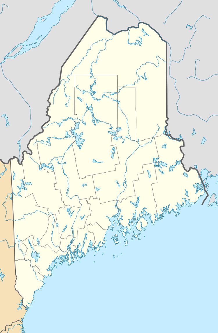
Katahdin Woods and Waters National Monument is a U.S. National Monument spanning 87,563 acres (35,435 ha) of mountains and wilderness in the North Maine Woods area of north-central Maine, including a section of the East Branch Penobscot River. All of the monument lands border the eastern side of Baxter State Park, and are located in Penobscot County.
Contents
- Katahdin woods and waters national monument
- Katahdin woods and waters national monument fall 2016
- History
- Opposition
- Human settlements
- Geology
- References
Katahdin woods and waters national monument fall 2016
History
Roxanne Quimby, the co-founder of Burt's Bees, and her foundation, Elliotsville Plantation, Inc., began purchasing land near Baxter State Park in 2001 before formally announcing their plans in 2011 that the land would one day become part of a national park. However, following opposition by state and federal politicians to the creation of a national park, Quimby changed her focus to a national monument, which could be created with a proclamation by the president under the Antiquities Act. On August 23, 2016 Elliotsville Plantation and the Quimby Family Foundation donated the land (valued at $60 million) and $20 million to fund initial operations and a commitment of $20 million in future support to the United States federal government. On August 24, 2016, the eve of the National Park Service centennial, President Barack Obama proclaimed 87,563 acres (35,435 ha) of land were designated as the Katahdin Woods and Waters National Monument.
Opposition
A minority of people opposed the monument, with some concerned about federal intrusion of the lands of Northern Maine. One of the most vocal opponents to the creation of the National Monument has been Governor Paul LePage who called the monument “unilateral action against the will of the people, this time the citizens of rural Maine.”
It has been suggested that incoming President Donald Trump could act to reverse the creation of the Monument, a move local opponents would like him to consider. Trump was critical of the Monument's creation during campaign appearances in Maine. A President has never reversed the creation of a predecessor's Monument, and an opinion written by the U.S. Attorney General in 1938 suggests a President may not do so. Supporters of the Monument called such a so-far hypothetical abolition a "destructive step".
Human settlements
Human settlement in the region dates back 11,000 years, with Native peoples having relied on the woods and its waterways for their livelihood and even transportation. The Penobscot Indian Nation, along with other Wabanaki tribes, still regard the Penobscot River as an important landmark of their culture.
The first recorded White exploration of the region occurred in 1793 with a survey commissioned by the Commonwealth of Massachusetts, of which Maine was still a part. Shortly after statehood in 1820, the Maine government began surveying the lands around the current National Monument. For over 100 years, from the early 18th century to the late 19th century, logging was the primary industry in the area.
The Maine Woods were made famous by the writings of Henry David Thoreau in the 1850s, and later saw such visitors as Theodore Roosevelt and Maine Governor Percival Baxter, who later designated the lands to the immediate west of the National Monument to become Baxter State Park.
Geology
The bedrock of Katahdin Woods and Waters spans over 150 million years of the Paleozoic era, revealing well-intact exposures of Paleozoic rock strata with visible fossils. In the lands west of the Penobscot River's East Branch, volcanic rock from the Devonian period, mostly Katahdin granite and some Traveler rhyolite, is prevalent. The oldest rock in the monument, a light greenish-gray quartzite and slate from the early Cambrian period, which is 500 million years old, can be observed along the riverbank of East Branch at Grand Pitch (a river rapid). This rock is part of the Weeksboro-Lunksoos Lake anticline, a wide upward fold of rocks, which is evidence of mountain-building tectonics common to that part of the state.
