
Time zone PST (UTC+5) Area 2,592 km² | Number of Tehsils 3 | |
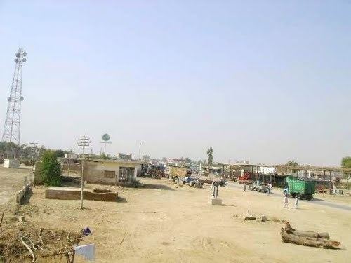 | ||
Kashmore District (Sindhi: ضلو ڪشمور), (Urdu: ضِلع کشمور), previously known as Khizmer or Khizmore, is a district of the province of Sindh, Pakistan. The capital city is Kandhkot which has a population of District Kashmore 1,206,772.
Contents
- Map of Kashmore District Pakistan
- Administrative divisions
- Agriculture
- Geography
- Demography
- Kashmor City
- References
Map of Kashmore District, Pakistan
In 2004, Kashmore District was separated from Jacobabad District.
Administrative divisions
Kashmor District is subdivided into three tehsils:
Agriculture
Kashmor District has a large cattle market.
Geography
Kashmor District is located in the northern part of Sindh, bordering Ghotki, Jacobabad, Shikarpur and Sukkur within Sindh. It also borders Balochistan on one side and Punjab on the other. The Indus river runs through the Eastern side of Kashmor district. The southeastern side of Kashmor District has forest of (Kacha) that support wild animals. The Thar desert falls on the Eastern side of the district, and is home to wild desert animals.
Demography
According to the 1998 census, Sindhi was the first language of 95% of the population of the talukas of Kashmore and Kandhkot, while Balochi accounted for 2.7%.
Kashmor City
Kandhkot is the district headquarters of Kashmor, and also an old city that lies on the right side of the Indus river. Kashmore City is a gateway to Punjab Pakistan and Balochistan. The city has a population of 312,500. Also the city’s main electricity comes from the Indus river.