
First ascent Hans Wödl Prominence 425 m | State/Province AT-5 Elevation 2,740 m | |
 | ||
Parent range Schladminger Tauern, Niedere Tauern Normal route Via the Furtriegel along the summit arête (west flank, UIAA I) Similar Hochgolling, Kassianspitze, Preber, Resterhöhe, Schareck | ||
The Kasereck, at 2,740 m (AA), is one of the highest peaks of the Schladming Tauern and thus also the Lower Tauern. It is the most prominent summit on the crest that runs from the Hochgolling southwards and separates the valleys of Göriachtal in the west and Lessachtal in the east. Geographically this mountain lies in Salzburg state and is most easily climbed from Göriach in the Lungau.
Contents
Map of Kasereck, 5574, Austria
Below the mountain nestles the lake of Piendlsee (2,033 m (AA)). The easiest ascent runs from the Göriacher Winkel from the Piendlalm via the Piendlsee and the southwest arête and west flank to the top.
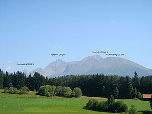
Neighbouring summits
References
Kasereck Wikipedia(Text) CC BY-SA