
Coat of arms Flag Town Kartaly Local time Friday 11:42 PM | Area 86.13 km² | |
 | ||
Weather -8°C, Wind SW at 13 km/h, 85% Humidity | ||
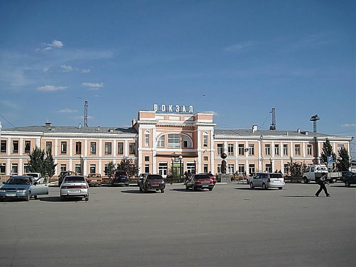
Kartaly (Russian: Карталы́) is a town and the administrative center of Kartalinsky District in Chelyabinsk Oblast, Russia, located in the valley of the Kartaly-Ayat River (left tributary of the Tobol), 260 kilometers (160 mi) southwest of Chelyabinsk, the administrative center of the oblast. Population: 29,131 (2010 Census); 29,908 (2002 Census); 37,132 (1989 Census).
Contents
Map of Kartaly, Chelyabinsk Oblast, Russia
History
It was founded in 1810. Town status was granted to it on April 17, 1944.
Administrative and municipal status
Within the framework of administrative divisions, Kartaly serves as the administrative center of Kartalinsky District. As an administrative division, it is incorporated within Kartalinsky District as the Town of Kartaly. As a municipal division, the Town of Kartaly is incorporated within Kartalinsky Municipal District as Kartalinskoye Urban Settlement.