
Population 278 (2011 census) Karara Thane Local time Friday 6:11 PM | Postcode(s) 4352 Postal code 4352 | |
 | ||
Weather 25°C, Wind S at 13 km/h, 34% Humidity | ||
Karara is a town and locality in the Darling Downs region within the Queensland, Australia. It is in the Southern Downs Region local government area. In the 2011 census, Karara had a population of 278 people.
Contents
Map of Karara QLD 4352, Australia
Geography
The town is on the Cunningham Highway, 208 kilometres (129 mi) south west of the state capital, Brisbane. The highway passes through the locality from the east to the south-west. The Toowoomba-Karara Road connects the highway through to the north of the locality to Leyburn and ultimately through to Toowoomba. The South Western railway line passes through the locality roughly parallel and to the north of the highway. Both the line and Karara railway station are no longer in active use.
The Durakai State Forest occupies the southern and eastern areas within the locality; otherwise it is freehold land predominately used for farming apart from a small urban centre. There are a number of creeks running south to north through the locality which is in the drainage basin of the Condamine River.
History
The name Karara is believed to be an Aboriginal name for Canal Creek.
The South Western railway line from Warwick to Karara was opened in 1904.
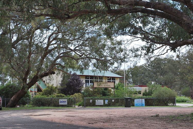
Karara State School opened on 20 July 1908.
Karara Post Office opened on 1 July 1927 (a receiving office had been open from 1909) and closed in 1990.
At the 2006 census, Karara and the surrounding area had a population of 140.